Crossed yesterday - crossing wide - current slow - 30"+ deep - some big rocks - semi firm bottom
35 miles of dirt later I see this
It has been 20 years since I crossed at Child's and drove to Tangle Creek. After today I can't believe I have waited so long. Saw 1 vehicle in ~35 miles of dirt, 20 - 25 varieties of wild flowers, and some unbelievable terrain and lots of side trails to explore.


35 miles of dirt later I see this
It has been 20 years since I crossed at Child's and drove to Tangle Creek. After today I can't believe I have waited so long. Saw 1 vehicle in ~35 miles of dirt, 20 - 25 varieties of wild flowers, and some unbelievable terrain and lots of side trails to explore.


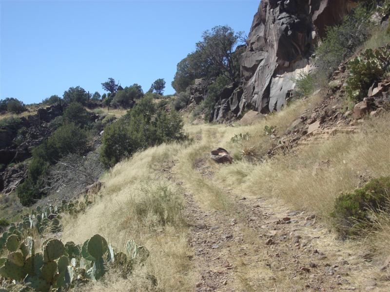
 when it was wet. Once you join up with the powerline road it is still rough but without the huge ruts. Lot of big hills and valleys on the entire run. In the first picture I believe we crossed all 3 of the ridges. The second picture shows how little the road is traveled.