GPS apps and what's the best info for BC in particular? (1 Viewer)

This site may earn a commission from merchant affiliate
links, including eBay, Amazon, Skimlinks, and others.

Joined
May 15, 2005
Threads
290
Messages
10,930
Location
Ladysmith
I'm from BC - Before Computers
I've got topo's from the 70's and 80's that work just fine. Worn through in the folds, faded and barely readable, but just fine.
My iPad has an aviation app 'Foreflight' which I can use the Canadian WAC topo charts, and we're talking pinpoint accuracy.
So I never if I need, have trouble finding out where I am - like the time I took a wrong turn in the Chilcotin for about 40 klics. Oops.
My brother wasn't impressed.
I tried the BRMB app - it was really just garbage and not very user friendly. Let me say - the BRMB in paper is fantastic? I'm not
going ever leave them behind, they really are pretty good. Just looking for the updates

One guy I know downloads BRMB maps onto his Garmin. I'm looking to expand my ipad use since I got a new one specifically for
work. I can load my old one up. I found this article below. I've downloaded the Garmin App and the GAIA app
Both seem to be highly thought of. I think the crew on Coastal Cruisers are a bit more savvy than I am. So I'm asking
for some input and guidance from you guys.
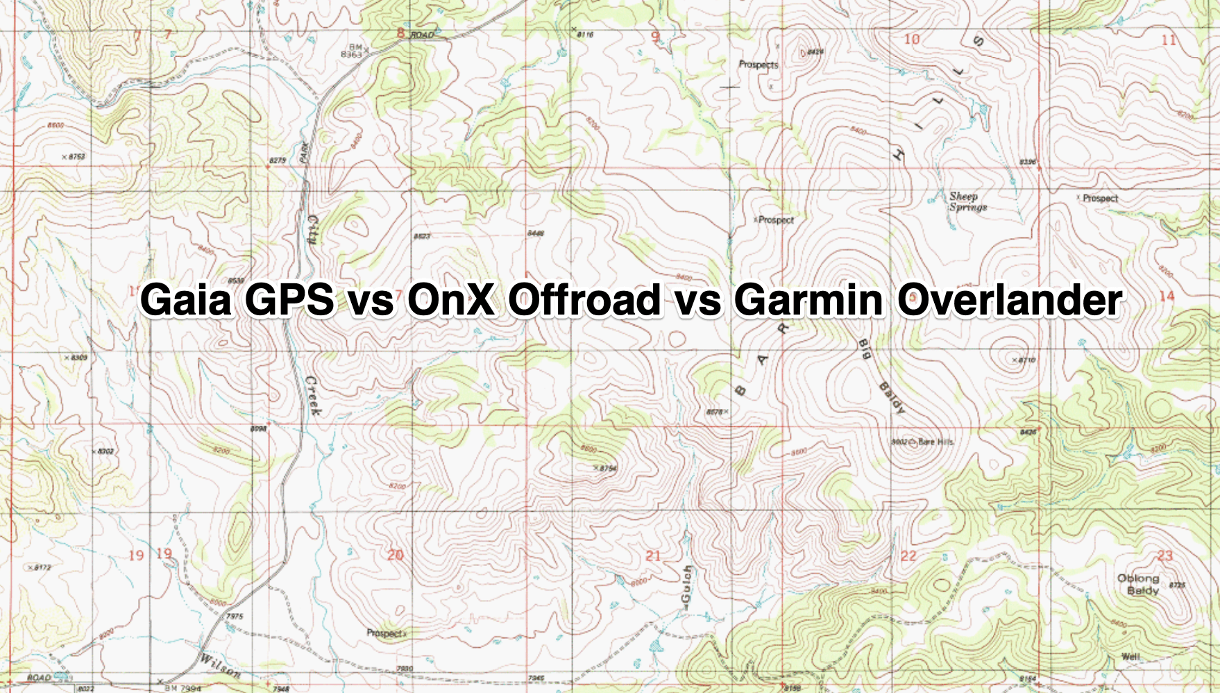

What are you using? How are you using it? What really is the most user friendly and most intuitive?
Thanks, Yukon bound again in Sept, with a bit of a sidebar north of the Spatsizi.
 
I don't have any advice on new offerings. My dream at one point was to run Garmin enRoute on a tablet with all my mapsets on a HDD or SSD (Canada Topo, Ibycus, City Nav, etc) but that all so old school now. With BRMB only older chips will work with this setup, which I do not have.

I don't like the newer offerings that rely on a cell signal to download mapsets if you change an intended travel area and did not download it before you left. I also wanted to have have my mapsets available so if trip planning in camp or having someone show you an area you can load the map and take a look.

I do have a new(ish) BRMB chip and it will work in my Gramin Nuvi. Sometimes I will run that while still using the Garmin 60Csx.

I've not moved forward with this so have not stayed current.

hth's
gb
 
I've got a Garmin handheld unit with BRMB loaded....sitting in a drawer. Things too damn small to see when driving. I'd love to get some kind of touch screen notepad kinda setup one day.
That’s one main reason to not go Garmin. Offering are too small to see. Large screen units are
too expensive to see past.

So far Pocket Pro Earth is good but not detailed, but position is good and it has all that
extra crap I don’t really care for but - Tatla Lake for instance, identifies the store and gas station,
local hotel and phones. And I just dialed that in quick.
HERE is another, very comprehensive. I’m getting a lot of help from a Swiss fellow,
we have a thread going in the nav & comm forum.

What I haven’t done since I dumped the BRMB app is whether I can load their maps onto
my iPad. Anyone know?
 
:popcorn:

I too have an old iPad I’d love to use for nav but not good on the tech these days...interested to see what you do.
 
I can say, BING Maps kick google ass. Their close up resolution is good, a bit slow to load but for
planning purposes its great. I also use an app called Canada Topo, but it is download by the section
and sucks up a lot of memory. But it has tracking and a very accurate distance feature. We did a long back
country ATV trip last fall and I had it figured out to within .5 km of where each feature I was aware of was.
Coupled with BING maps, I could see satellite stuff enhanced from the topo. It was bang on. Problem,
not good offline.
 
I use a combi of Canada Topo (free & accurate for GPS location, but backcountry roads are not updated as it appears to be based on GC topo paper maps), hardcopy BRMB (some first edition o_O), my old collection of GC topo maps (I like paper), and downloaded or screenshot Google Maps satellite maps for visual reference. Also have a Garmin Vista HCX (small screen, outdated maps that are atleast 15+ years old, and incorrect time and date due to soft/firmware glitch,... but I still like it for tracking, hiking, etc.). My brother has GAIA and I'm impressed by what I've seen - got us to Cabin Lake with only one wrong turn due to a decommissioned road.
 
You sound like me. Still won’t leave paper books behind. How tech is your brother,
pans how long has he been working with GAIA? I’ve heard it gets better/easier with time.
Not sure whether stopping and sorting out directions within the system are simple or
not. I’ve not had a chance to get into it
 
I can say, BING Maps kick google ass. Their close up resolution is good, a bit slow to load but for
planning purposes its great. I also use an app called Canada Topo, but it is download by the section
and sucks up a lot of memory. But it has tracking and a very accurate distance feature. We did a long back
country ATV trip last fall and I had it figured out to within .5 km of where each feature I was aware of was.
Coupled with BING maps, I could see satellite stuff enhanced from the topo. It was bang on. Problem,
not good offline.

And there-in is the rub...need to have cell signal.

Nothing new to add, but whatever I end up with I would like my entire library of digital maps accessible. I was thinking of a Windows 10 tablet when I was moving this direction, but like mentioned I have not proceeded in any direction. Currently the only thing I do is use the 60Csx to create a backup track with either the Cdn or USA topo maps in it and then run a older Nuvi with the BRMB chip when in BC.

I do have the old Garmin en-Route downloaded and saved. The program works well. And can read many mapsets (but not the new ones after they (Garmin and supporting map folk) seemed to have clamped down. My old Canada Topo, USA Topo, IBYCS Canada and USA, etc might not be current but in conjunction with some paper maps one can figure things out.

Cheers
gb
 
Last edited:
There’s two things at work. Planning purposes sitting at laptop, all sources at fingertips and I do my own ‘layering’ of maps and areas.
then the instant ‘ where the f’ am I?’ requirement. Or what’s up this road kind of thing.
I appreciate everyone’s input. I’ve got so much more info over three threads than I thought. In a short time I’ll indicate here all the potential resources I’ve sourced for all to look over.
I can say, there is a distinct difference in what people are looking for.
 
Depending on the trip, needs might well be different as well. Straight up Nuvi or some such works well for much of North America in most situations. Amazed at what "roads" have shown up on it when out and about. and also the location info that is available.

For longer trips when you take a few days off before heading somewhere else...that is when the planning aspect can come in. Trips change. Weather forces other directions. Meet some travelers at camp and end up staying an extra day visiting or talking about travels. I want to be able to access my map data sets in situations like that.

Apps want to make money (and need too, to survive). Subscriptions, yearly renewals, pay for additional maps, cell data or wifi required etc.

It can all be at odds with each other, depending on usage and needs . I have not stayed current so will be interested to see what you come up with.

gb
 
I've played with this in the states - works fairly well, but I have low expectations. They have free and paid versions; works off line fairly well. Trick is to grab hi-res maps before you go.
 
I'll have to ask my brother how long he's been using it. Probably like most of us, he's neither Ludite nor Techie! From what I saw, GAIA was pretty straight forward. I let him do all the navigating out from Whipsaw, and over to Boston Bar. Of course, I hadn't downloaded the relevant Topo Canada maps on my phone or tablet :bang:. On the other hand, it was nice not having to be the one worrying about making a wrong turn.
 
I use a combination GAIA and BRMB, the two marry well. I can load BRMB layers over top of GAIA. The layers are great for a variety of adventures, the two I use the most: 4x4 and snowmobiling. I run these on an iPad Air2 that has a SIM card. I believe any Apple device with SIM has built in GPS functions, I know for a fact that my iPad does.
 
So which subscription are you using for GAIA that allow you to download the BRMB?
From what I found was BRMB only worked through a Garmin device. I find GAIA difficult.
I don’t want to spend money unless I know what I’m getting and I’m having trouble figuring
GAIA out.
 
So which subscription are you using for GAIA that allow you to download the BRMB?
From what I found was BRMB only worked through a Garmin device. I find GAIA difficult.
I don’t want to spend money unless I know what I’m getting and I’m having trouble figuring
GAIA out.
Looks like I have a subscription to Gaia GPS Member, then a subscription for Gaia Hiking, Offroad...
I also have a subscription to BRMB.
I too found Gaia a bit clumsy, but as I play with it more and more it's becoming quite easy. I use it on my iPad, but it also works just the same on my iPhone. When I'm in the cruiser, I use the iPad on a Ram mount, when I'm sledding I use my phone tucked safely in my jacket to keep it warm :)
 
Gaia Premium Membership
 
Thanks, I got a Ram mount with that steel post. Is yours the same? I haven’t installed it yet.
Took way too much mucking around time last winter with this intercooler -turbo upgrade.
Everything I read about GAIA said it was clumsy at first.
So I guess the subscription opens up the access to the Garmin & BRMB maps
I‘ve been downloading the CanadaTopo app maps. I kinda like it’s simplicity. Doesn’t have the
bells and whistles that everyone seem to need. It’s distance measuring tool is very accurate.
Ive been experimenting offline with it. It has a position indicator. I’ll see how that works when
I get home.
 

Users who are viewing this thread

Back
Top Bottom