Here is contact info i just found on who to email, fax, and call to Act under NEPA in order to get this back to 'public comment.
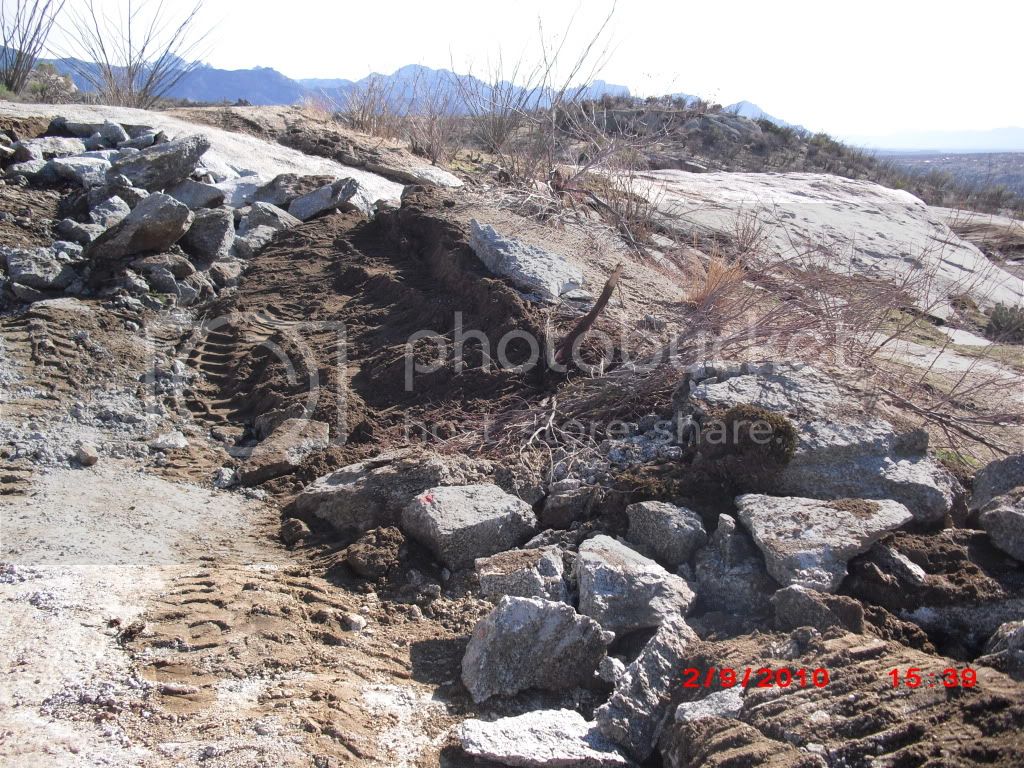
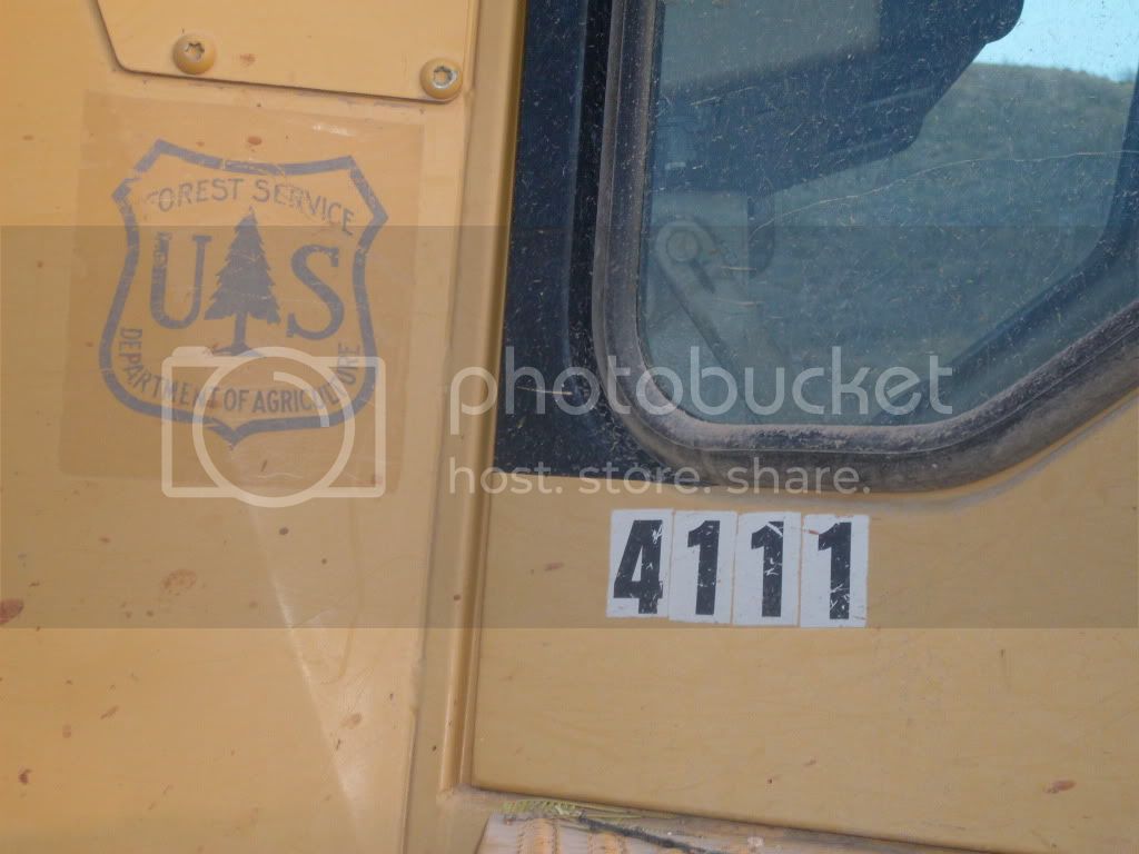
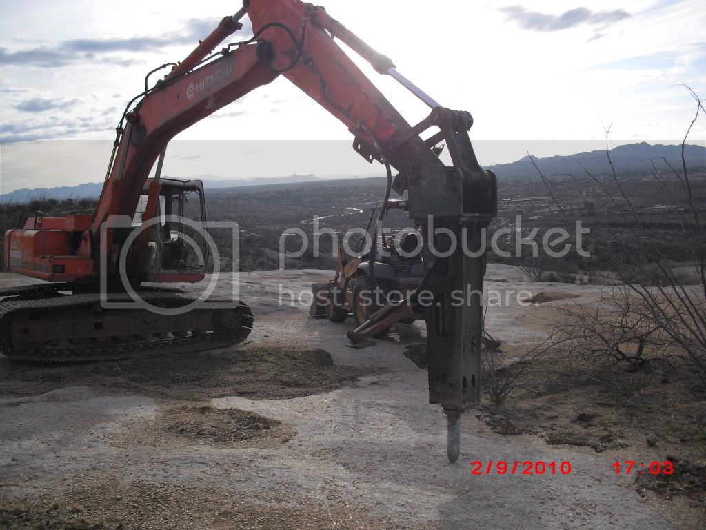
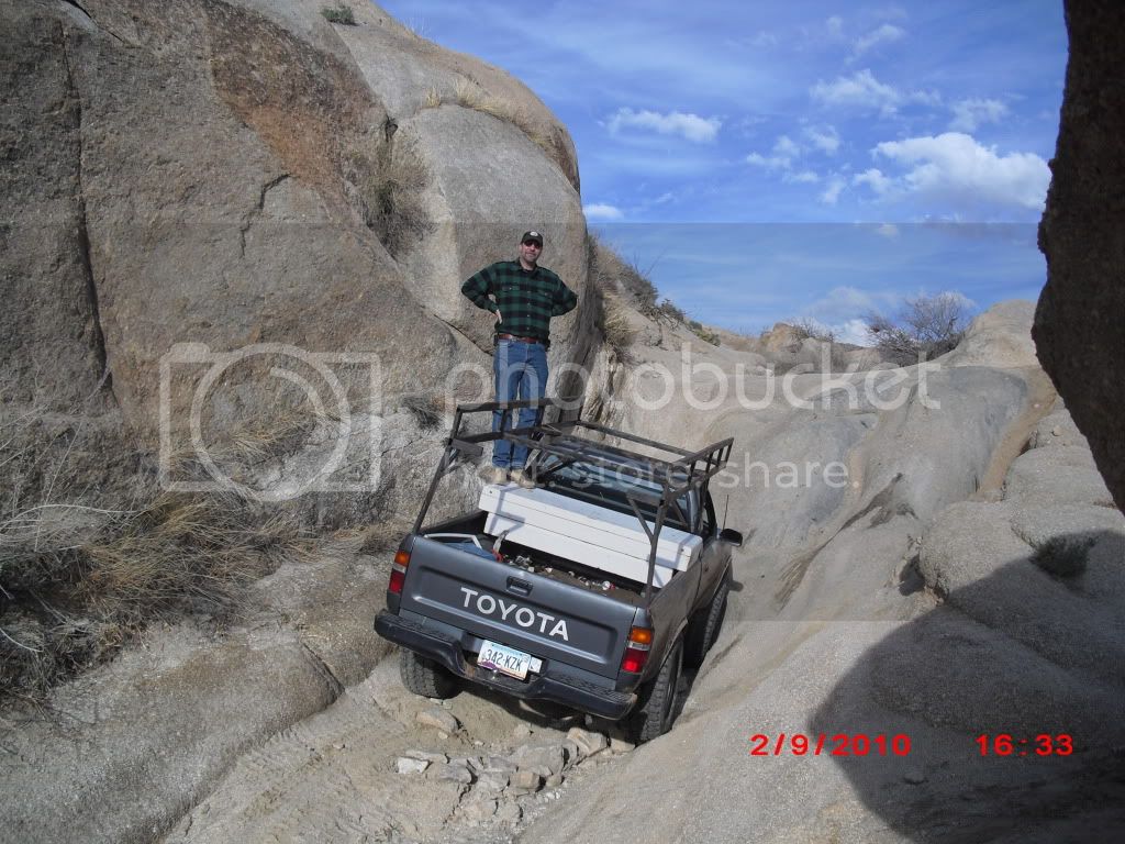
its worth the effort getting this stopped before they get to Demon Hill this week or next IF ONLY TO have it re-evaluated. the money should be spent on roads that are actually useful to the public. not just a few. this is not a time of spending money on the extra goodies like making a remote 4x4 only road more accessible to the public.
Written comments may be sent by U.S. mail to Ms. Laura White, Travel Management Program Manager, Coronado National Forest, 300 West Congress Street, Tucson, AZ 85701; by facsimile to "ATTN: Laura White, Catalina Unauthorized Roads NEPA" at (520) 388-8305; and by electronic mail (email) to
comments-southwestern-coronado@fs.fed.us with "Catalina Unauthorized Roads NEPA" in the subject line.
To provide telephone or in-person comments and for further information on the proposed action, please contact me at the address and phone number in the letterhead, or contact Ms. White at (520) 388-8419.
HERE ARE ALL THE DETAILS I CAN FIND:
Coronado National Forest - Home Page
Decommissioning of Non-System (Unauthorized) Roads on the Santa Catalina Ranger District
Scoping Notice and Opportunity to Comment
List of Unauthorized Roads Proposed for Decommissioning Santa Catalina Ranger District, August 2009
Maps
Legend
Charouleau Gap/Control Road
Mt. Lemmon Corridor
Redington Pass
Happy Valley
All the links to the above pdf documents are at:
Coronado National Forest - Home Page
This is the notice in it's entirety:
Your National Forest - 404 Error - Document Not Found
United States
Department of
Agriculture
Forest
Service
Coronado National Forest
Santa Catalina Ranger District
5700 N. Sabino Canyon Road
Tucson, Arizona 85750
Phone (520) 749-8700
FAX (520) 749- 7723
Caring for the Land and Serving People Printed on Recycled Paper
File Code:
1950-1/7700
Date:
August 18, 2009
SCOPING NOTICE AND OPPORTUNITY TO COMMENT
DECOMMISSIONING OF NON-SYSTEM (UNAUTHORIZED) ROADS ON THE SANTA CATALINA RANGER DISTRICT
Dear Friends and Neighbors of the Coronado National Forest:
I am writing today to let you know about a proposed road management project on the Santa Catalina Ranger District (District) in Pima and Pinal Counties, Arizona. The legal coordinates of the project area are listed on Attachment 1. To reduce further resource damage in specific areas and to better protect and conserve natural resources on the District, the Forest proposes to decommission1 14.26 miles of non-National Forest System2 roads (non-NFSRs), which are often referred to as “unauthorized” roads. Funding for the project is authorized under the American Recovery and Reinvestment Act of 2009 (Pub. L. 111-5).
The proposed action would be undertaken concurrently with, but independent of, a recently proposed Forest Service action to manage roads on the District in accordance with the Travel Management Rule [Travel Management; Designated, Routes and Areas for Motor-vehicle Use (36 CFR Parts 212, 251, 261, and 295)]. The distinction between the two projects is that decommissioning as part of the Travel Management proposed action applies to NFS roads only. Further, the objective of the Travel Management project is to produce a District Motor Vehicle Use Map, which will be updated annually, while the objective of decommissioning unauthorized roads is to eliminate roads that pose a significant damage threat to natural resources.
We are about to begin a National Environmental Policy Act (NEPA) review of the proposed action. The first step of our review is scoping, during which we ask the public to help us identify issues and concerns related to the proposed action. Public input is vital because it is integrated into our environmental impacts analyses and may be used in the development of mitigation and alternatives to the proposed action. Information on how you can comment on this proposal or obtain further information is provided below.
1 These are defined in 36 CFR 212 as “activities that result in the stabilization and restoration of unneeded roads to a more natural state”.
2 These are defined in 36 CFR 212 as “a road that is not a forest road or a temporary road and that is not included in a forest transportation atlas”.
BACKGROUND
There are currently 263 miles of open NFS roads, 20.8 miles of closed NFS roads, and about 32 miles of non-NFS (unauthorized) roads and motorized trails on the District, according to an inventory completed by the Forest in January 2009 as part of the Transportation Analysis Process (TAP). Many non-FS roads/trails are the direct result of illegal off-road travel. Others were created, with Forest Service permission, for activities allowable under special-use authorizations, maintenance and/or construction of range improvements on grazing allotments, access to active mining claims, or similar purposes. Some of these roads were not closed when an authorized project or activity ended, and they are presently used by the public for unauthorized motorized and non-motorized travel.
Based on the recently completed TAP, Forest resource specialists determined that many unauthorized roads on the District do not serve a purpose commensurate with their financial and resource damage cost, among other factors. These are the unauthorized roads that are proposed for decommissioning.
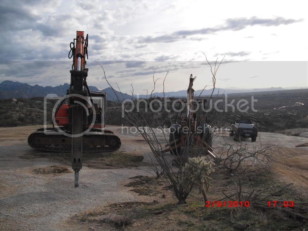
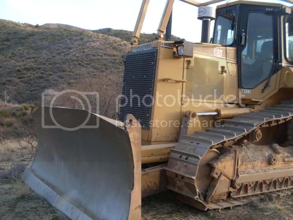
Decommissioning refers, in general, to measures designed to eliminate use of a specific road. Activities used to decommission a road may include (1) reestablishing former drainage patterns, stabilizing slopes, and restoring vegetation; (2) blocking the entrance to the road, installing water bars, removing culverts, re-establishing drainage-ways, and removing unstable fills; (3) pulling back road shoulders; (4) scattering slash on the roadbed; (5) completely eliminating a roadbed by restoring natural contours and slopes; and (6) implementing other methods designed to reduce or eliminate the adverse effects of a road.
PROPOSED ACTION
A list of unauthorized roads proposed for decommissioning is attached. A map showing road locations can be viewed on the Forest’s public website3 and at the District office in Sabino Canyon. To request a map for personal use, you may contact Mr. Devin Quintana, District GIS Planner Analyst, at (520) 760-2319.
Many unauthorized roads reflect poor to non-existent engineering design and have caused resource damage by concentrating overland drainage, which, in turn, results in excessive soil erosion. The objectives of the proposed action are to preclude future unauthorized use, return drainage to a natural state, and restore vegetative cover on an unauthorized road.
Specific decommissioning methods to be used on each road or road fragment will depend on site-specific conditions related to drainage, the potential for successfully re-vegetating the area, potential success of excluding vehicle re-use, and accessibility to Forest crews who will perform tasks associated with decommissioning. Any individual or combination of the following methods may be applied.
Barriers: Vehicular travel may be excluded by camouflage, water-barring, ditching, boulder placement, scarification and/or ripping, and/or topographic restoration. These options may be
3
Coronado National Forest - Home Page
used in combination with the installation of “Road Closed” signage at a specific road access location or at locations where circumventing that road may be possible.
Drainage Restoration and Control: Where natural drainages cross an unauthorized road, it would be reshaped so that the drainage regains the original gradient as much as feasible. This method would generally involve the installation of additional water-bars at frequent intervals (up to every 50 feet, depending on road grade) and removal of road fill to re-contour the drainage. Generally, fill would not be placed for drainage gradient restoration because it has a poor chance of remaining in place.
Vegetation Restoration and Control: If a road is devoid of vegetation because of heavy soil compacting, it will be scarified to de-compact the soils. A native seed mix may be applied to the pre- or post-scarified surface, under the direction of the District Biologist. Very steep, restored slopes in sensitive areas may be covered with straw for erosion control and to provide shade.
Fencing: In cases where barriers, signs, and other methods are not effective in keeping vehicles from traveling on a decommissioned road, temporary fencing may be installed. It will usually consist of metal range-fencing using 3 or 4 strands of smooth wire supported by T-posts and anchored at each end with larger brace posts buried to a depth of 24 inches. This method would be an option at locations where the entrance to an unauthorized road occurs in an open area having no natural features to prevent people from driving around barriers.
Ground-disturbing activities, such as scarification, installation of water-bars, and grading, would be necessary on about 50 percent of the length of the roads proposed for decommissioning on the District, because there is a very low probability that natural conditions could be restored without them. Some roads proposed for closure/decommissioning cannot be effectively closed with barriers or similar controls because they are located on flat, open terrain. In those situations, a closure order and sign may be the only feasible option. Most of the roads proposed for decommissioning or closure would require installation of barriers and other treatment actions.
Implementation is expected to begin late in 2009.
PUBLIC INVOLVEMENT
Listing of the proposed action on the Forest’s public website was the first step of public involvement in the NEPA review of the proposed action. Distribution of this Scoping Notice for public comment is the next. Public comments about the proposed action will assist Forest resource specialists in scoping the NEPA review, which includes, but is not limited to, identifying issues to be analyzed and developing alternatives to achieve the objective of closing user-created roads.
In addition to this Scoping Notice, since 2006, the Coronado’s travel management planning has included many opportunities for public involvement in determining the fate of unauthorized roads. Four open-house meetings (one each in Tucson, Safford, Sierra Vista and Douglas) afforded an opportunity for citizens to view maps and to provide input on individual routes regarding unique recreation opportunities, specific vehicle class opportunities, access to
significant locations, dispersed camping opportunities, and environmental and/or safety concerns related to specific roads.
The Forest has held many public meetings as part of its Forest Plan revision process. Travel management, including the problem of unauthorized roads, was a topic at these meetings and was considered in the development of this proposed action.
OPPORTUNITY TO COMMENT
The Forest Service values public input as part of its NEPA process. You are encouraged to submit comments regarding the proposed action and the scope of the NEPA analysis of this project, including those related to alternatives and issues to be addressed4. To receive full consideration and to best assist the Forest Service in defining the NEPA review, your comments should be submitted within 30 days from your receipt of this notice.
Written comments may be sent by U.S. mail to Ms. Laura White, Travel Management Program Manager, Coronado National Forest, 300 West Congress Street, Tucson, AZ 85701; by facsimile to "ATTN: Laura White, Catalina Unauthorized Roads NEPA" at (520) 388-8305; and by electronic mail (email) to
comments-southwestern-coronado@fs.fed.us with "Catalina Unauthorized Roads NEPA" in the subject line.
To provide telephone or in-person comments and for further information on the proposed action, please contact me at the address and phone number in the letterhead, or contact Ms. White at (520) 388-8419. Questions on Transportation Analysis Process (TAP) may be directed to Ms. Melissa Shafiqullah at (520) 388-8415, and on the NEPA process, to Ms. Andrea W. Campbell, Forest NEPA Coordinator, at (520) 388-8352.
Thank you for your interest and participation in the activities of the Coronado National Forest.
Sincerely,
R. STAN HELIN
District Ranger
4 Comments and personally identifying information associated with them, such as names and addresses, become part of the administrative record of this NEPA review. As such, they may be made available to a third-party upon request under the authority of the Freedom of Information Act (FOIA). If you do not wish for your personal information to be released in response to a FOIA request, you may choose not to include it with your comments. Alternatively, you may request an exemption from FOIA with your comment submittal. Should you choose the latter, you would be informed by the Forest Service as to whether or not your request qualifies for an exemption. If it does not, you will be offered an opportunity to resubmit your comments without personal information or to withhold them.
__________________
Jim