Naches / Government Meadows sometime soon? (1 Viewer)

This site may earn a commission from merchant affiliate
links, including eBay, Amazon, Skimlinks, and others.

Joe, Hope you and your wife feel better!

I'll still go and meet up in case no one read this prior leaving. I'm just a little rusty when it comes to the trail's where's, how's, and should I's.
I'll check back here around 7:45am if anyone cancels before heading out.
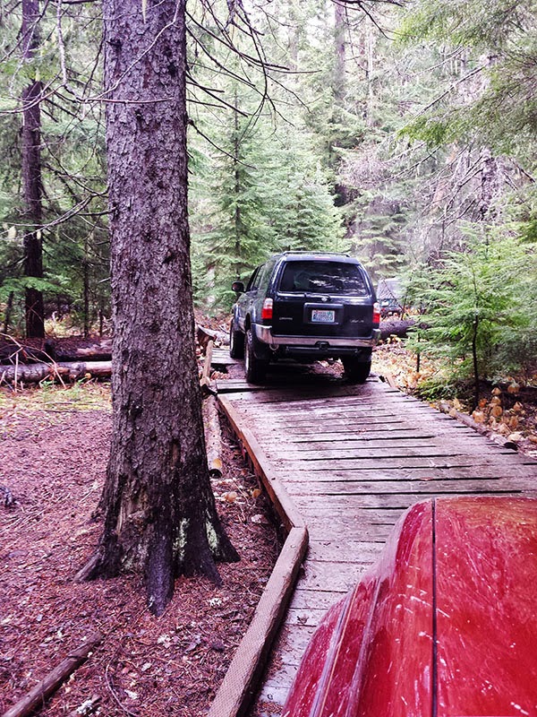
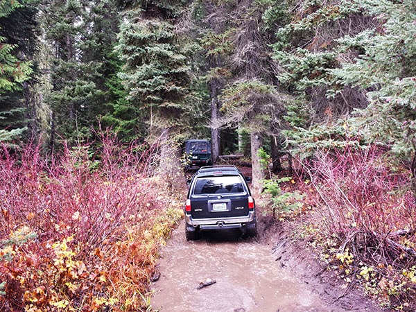
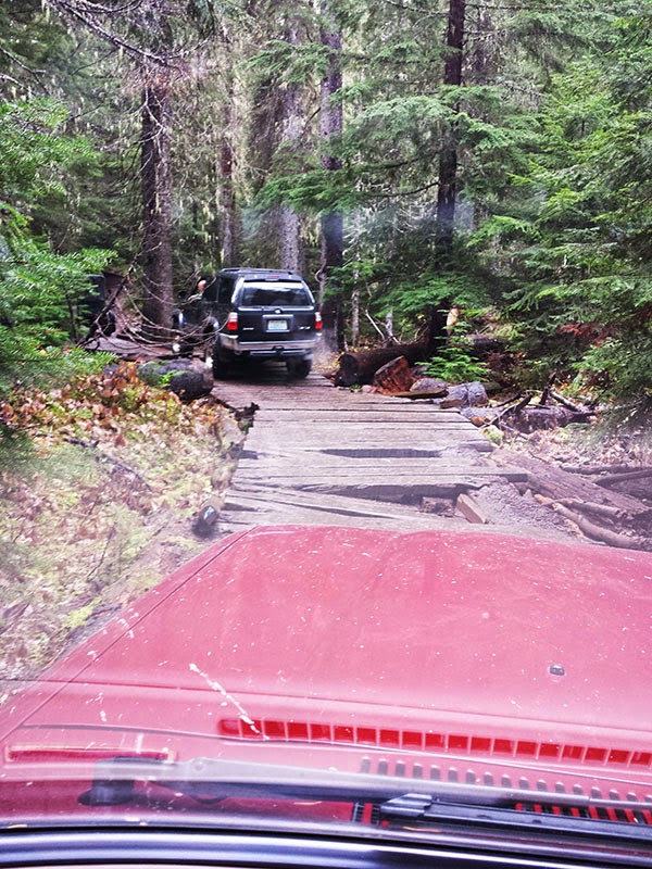
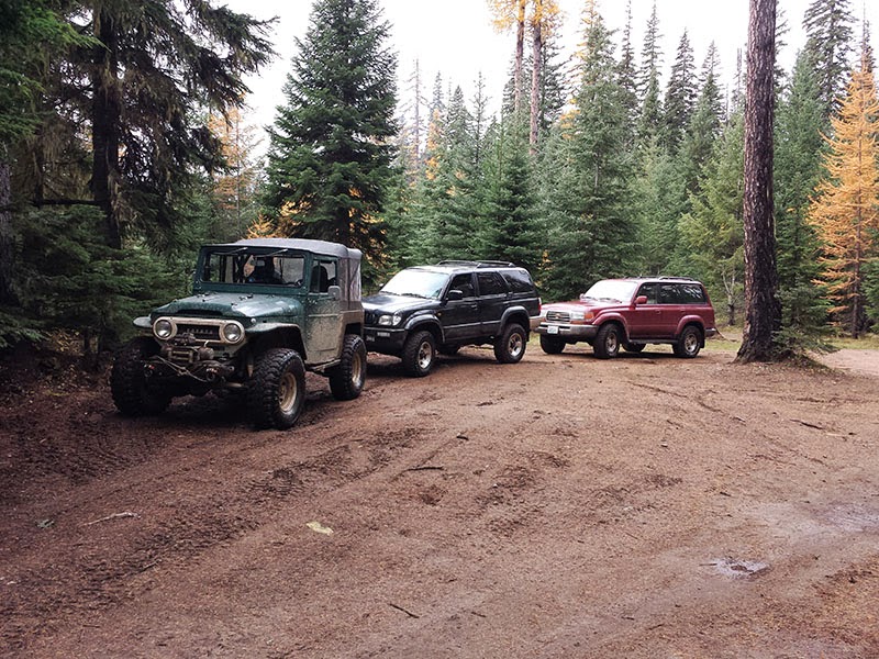
 
Sorry you're not feeling well. Hope you get over it soon!

Are we down the myself and two others? I am still up for the trip and I know the trail well. I can lead if you guys need that.

Steve

Call me if you need, I am awake. 253-508-0777
 
Well, I think you should all go next weekend when I am not working. (I may be a little jealous, selfish and in need of a guide) Have fun and post pictures.
 
I don't know why but Evans creek makes me think of body damage. No armor. I could do the 22nd it can't be that bad.
 
Thanks Steve for taking JJ & I on the trail. Had a blast

uploadfromtaptalk1414889313223.jpg
 
It was fun, good to see you Dain and Steve. I'll get a few pics uploaded later.
My noise(s) are from the brakes I think. They go away when applying them, but comes back after a few revolutions. Gonna take a look and see if a general cleaning will help, lots of soot from the water.
 
Had a great time guys. I look forward to doing it again. Maybe we can do Elbe next time. Most of the Elbe trails can be done without damage if you are careful.
I am going to take a few weeks off first. I need to figure out my fan clearance issue and make sure there is no bigger issue looming.
 
Thanks for posting! -- Looks like nothing a bit of sunshine wouldn't have helped. Did you folk go up the entire trail - did you do the 'black' parts or only the 'yellow' parts?

Yellow & Black in reference to the map posted earlier.
 
Last edited:
We drove on the dark blue/ black to where the red begins. The red line is the trail where most activity is at. I was the stock FZJ80, I want to use my vehicle come Monday :)

I believe the yellow is the "lower section", and that's more for the hardcore guys willing to the hard lines while risking some sort of damage; I've heard there are tricky parts. Others are better equipped than myself with the knowledge so correct me if I've made a mistake. This was my second trip out ever.
 
A closer look at the map, it makes more sense now. The yellow is the lower trail, red the upper trail. The difficulty levels are subtle marks along the trail, with a green dot midway, yellow to the east and black square on the lower western section.

Again, thanks for the info.

I'm looking for moderate rock-crawl type trails... not set to do serious mud or ravines. Like you, I need to get the truck home from a day or three out.
 
No problem on the info. Here is a thread from the last one I did with the fellas here.

https://forum.ih8mud.com/threads/naches-pass-september-30th.620739/

Honestly, so much has happened to where I'm sitting in the same rig as then ( unexpected issues ). PM's for the rig have somewhat been done since, but not so much to where what I had planned.

If you look at the old thread, I posted my running boards and the damage they received. On this recent trip, I created more clearance to them. I believe my springs/shocks are so worn out, and given the weight and speed I was going, I managed to bang them up some more. ( no rear seats, no tow bar, spare tire tucked to the folded middle seats and a tool box )

Right side:

IMG_2961.JPG


IMG_2964.JPG


Left side:

IMG_2962.JPG


IMG_2963.JPG
 
Gotta lift it's JJ. Anytime Bro, just let me know
 
Bumping this thread for Yohavos.

Here was the last run I did with Steve and Dain.
 

Users who are viewing this thread

Back
Top Bottom