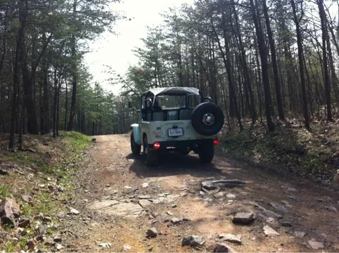
Sounds fun.
Ive been to taskers gap and peters mill. Need a 5$ day pass. Right off Endinburg road, 675, i think. One left and one right. Taskers cuts thru a bunch of ATV trails which you are not supposed to drive on.
Big levels is kinda cool. About 10 miles over the mtns from Blue Ridge PWY to near stuarts draft.
Further South is Show Creek which is nice. Can do Shoe Creek and Big Levels in 1 day.
I went to trailhead of Dictum/2nd Mountain but have not done the trails. My freind did Dictum and found that you cant get back out on 33. You have to backtrack.
Trailhead took an hour to get to out of Harrisonburg.
---------------------SOme info I collected------------
VA FR 826 (for those that have a Delorme Virginia Map)
Shoe Creek Trail, starting from the South Trailhead.
South Trailhead GPS Coordinates: N37 47.263 W79 06.173 (most accurate location)
South Trailhead Street Address: 1009 Perkins Mill Rd., Roseland, VA 22967 (least accurate; approximately 0.5 miles East of actual location)
Big Meadows GPS info
VA- Big Levels / Stony Creek Jeep Trail (FS 162) - NAXJA Forums -::- North American XJ Association
This is an approximately nine-mile trail signposted as FS 162 in the George Washington National Forest near Stuart's Draft.


