Events/Trails ROTM: Saturday, February 11, 2023 - Red Creek

Content may include affiliate links. Please see terms for details.

brices123

SILVER Star
Joined
Nov 4, 2009
Messages
1,217
Location
Paradise Valley, AZ
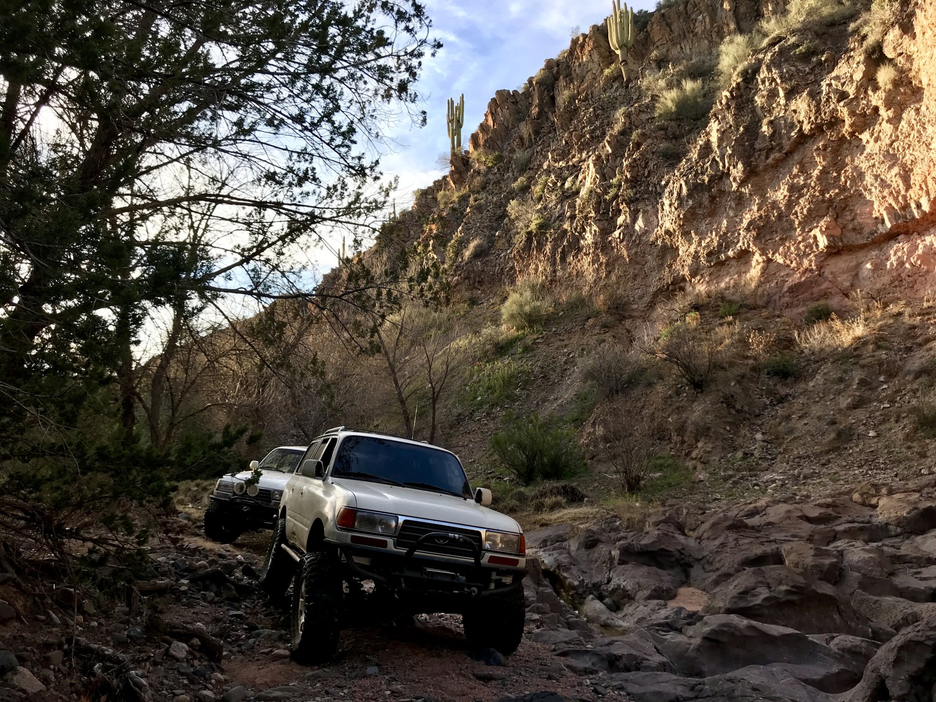
Here is a link to a thread from 2019 by Richard of TRAL. Not sure how much the trail has changed, but we will soon find out.


brices123

SILVER Star
Joined
Nov 4, 2009
Messages
1,217
Location
Paradise Valley, AZ
Here is a link to a thread from 2017 by @Saddletramp. Photos start at post #31.


brices123

SILVER Star
Joined
Nov 4, 2009
Messages
1,217
Location
Paradise Valley, AZ
Here is a link to a thread from 2014 by @Saddletramp. Photos start at post #69.


Otter

All Access Pass Holder
SILVER Star
Joined
May 11, 2010
Messages
1,852
Location
Scottsdale, AZ
I was fairly confident I'd taken my black 100 down this trail, but now I'm not so sure. 2017 may have been my last run in the 80.
 
Last edited:

brices123

SILVER Star
Joined
Nov 4, 2009
Messages
1,217
Location
Paradise Valley, AZ
This route is one of a very few that have a lot of recreational value that are on the chopping block for Tonto National Forest. Their reasoning is that there is a long list of things that live in the area that are sensitive, both flora and fauna. At some point in the future the riparian section of the route, where it turns east, will be closed. While usually that means it's simply not shown on the map, this one may get special attention and be physically blocked. I'm not saying you should go see this beautiful area while you can; I'm simply suggesting that everyone be especially respectful of the area. ;)
If the trail is marked "Closed" on the proposed "Record of Decision signed October 5, 2021" Tonto Forest Travel Management map, does that mean it is currently closed, or will be closed in the near future. See the attached screenshot. The red line would indicate it is closed. So basically where 18B starts.

I just do not want us to get in any sort of trouble.

Red Creek Screen Shot.png
 

brices123

SILVER Star
Joined
Nov 4, 2009
Messages
1,217
Location
Paradise Valley, AZ
Joined
May 26, 2005
Messages
8,340
Location
Phoenix
Website
www.tralaz.org

brices123

SILVER Star
Joined
Nov 4, 2009
Messages
1,217
Location
Paradise Valley, AZ
I forgot about this one.

 
Joined
Mar 6, 2014
Messages
1,025
I am debating on going. Took that Friday and Saturday for some family stuff in Phx, but plans have changed. I would have to pick my wife and dogs up in N phx and head back to Flag after, think thats doable? I would be in the wife's 100.
 

brices123

SILVER Star
Joined
Nov 4, 2009
Messages
1,217
Location
Paradise Valley, AZ
Something to keep in mind: The Phoenix Open will be going on next week. Saturday is typically the busiest day and traffic in North Scottsdale will be bad. It might not be terrible at 8:00 in the morning, but who knows.
Just something to keep in mind for those of you coming from the west or the south.
 
Joined
Apr 21, 2005
Messages
22,549
Something to keep in mind: The Phoenix Open will be going on next week. Saturday is typically the busiest day and traffic in North Scottsdale will be bad. It might not be terrible at 8:00 in the morning, but who knows.
Just something to keep in mind for those of you coming from the west or the south.


Probably not as bad going across Carefree highway back to I-17 or Lake Pleasant Parkway depending how far west.

Any current trail conditions? 2014 my 99 4R really was up to it. As far as we made other one spot right after lunch break was not any by passes. Would be tempted in the 5th gen 4R but it's technically my wife's and not sure how much damage she would appreciate.
 

TheGrrrrr

GOLD Star
Joined
Apr 3, 2019
Messages
1,478
Location
Scottsdale, AZ
Looks like I'm out on this one. Gotta do some entertaining at the golf tournament.
 
Joined
Mar 24, 2006
Messages
4,748
Location
Scottsdale, AZ
Red Creek has a few obstacles and has been passable in a mildly modified truck with a skilled driver. The scenery is worth the drive but i haven’t been there in a few years and rain changes things but this group is always helpful and with a good spotter everyone should be fine.
 

brices123

SILVER Star
Joined
Nov 4, 2009
Messages
1,217
Location
Paradise Valley, AZ
Here is a topo map of the Red Creek trail (FR18).

We will take FR24 (Seven Springs/Cave Creek Road) all the way to FR269 (Bloody Basin Road) and turn right toward Sheep's Bridge. We will then take a left onto Red Creek trail.
On the map, the green is the easiest driving, followed by the blue then the red. The red is basically following Red Creek all the way to the Verde River.
 

Attachments

  • Red Creek Topo.pdf
    4.1 MB · Views: 32
Joined
Sep 2, 2018
Messages
16
Location
Sonoita, AZ
This sounds like fun. I am in. This will be my first run with people from CSC. I am looking forward to meeting some of you.
 

DSRTRDR

I can mangle anything ...
SILVER Star
Joined
Jan 4, 2005
Messages
15,860
Location
Baton Rouge, LA and Fountain Hills, AZ
unexpectedly around in AZ this coming weekend, I feel tempted . . . :hmm:
 

Stepmurr

Lookin' fer the end of that old white line
SILVER Star
Joined
Dec 29, 2007
Messages
1,790
Location
Noteop, Arizona
unexpectedly around in AZ this coming weekend, I feel tempted . . . :hmm:
Need another 40 on the run to protect me from the 80s! Come on out!
 

DSRTRDR

I can mangle anything ...
SILVER Star
Joined
Jan 4, 2005
Messages
15,860
Location
Baton Rouge, LA and Fountain Hills, AZ
Need another 40 on the run to protect me from the 80s! Come on out!
sorry, I have to defer - additional work just got sprung on me :mad:
 

Users who are viewing this thread

Top Bottom