- Joined
- Sep 3, 2014
- Threads
- 1
- Messages
- 21
- Location
- Northcentral Phoenix
- Website
- dansorensenphotography.com
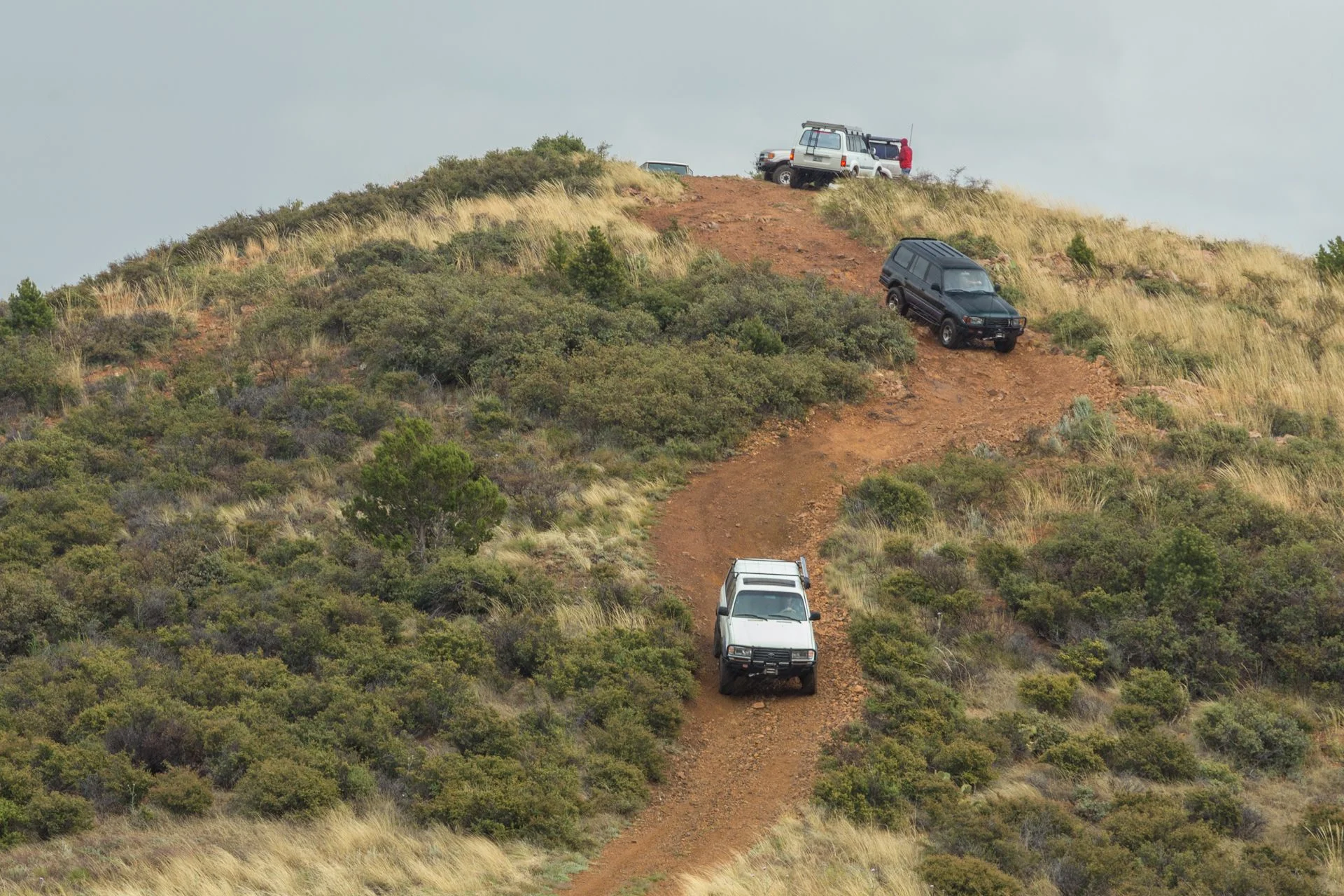
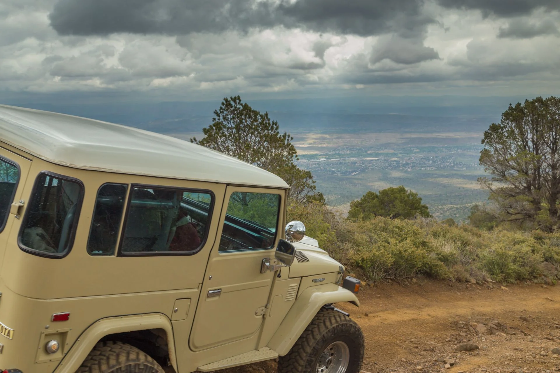
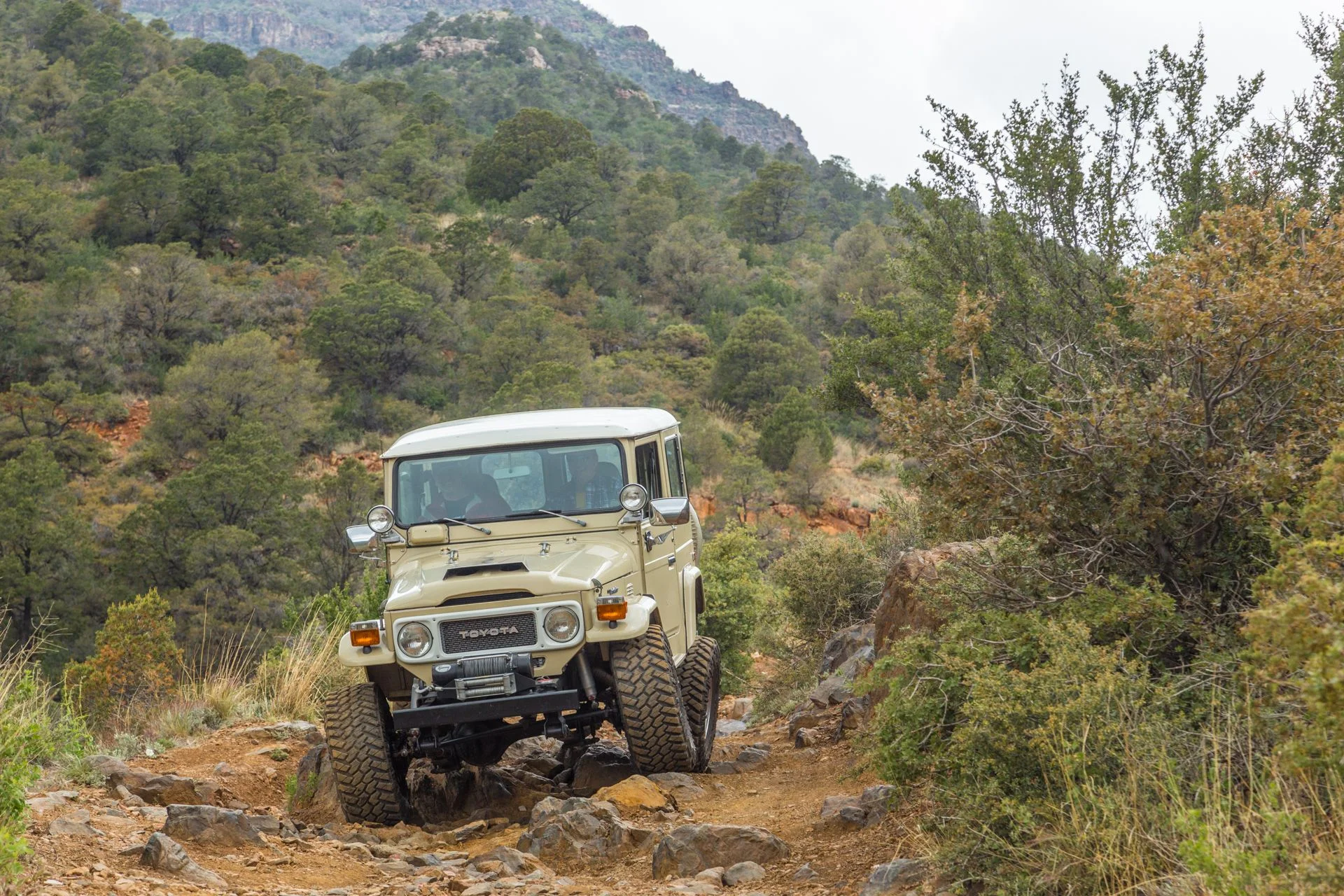
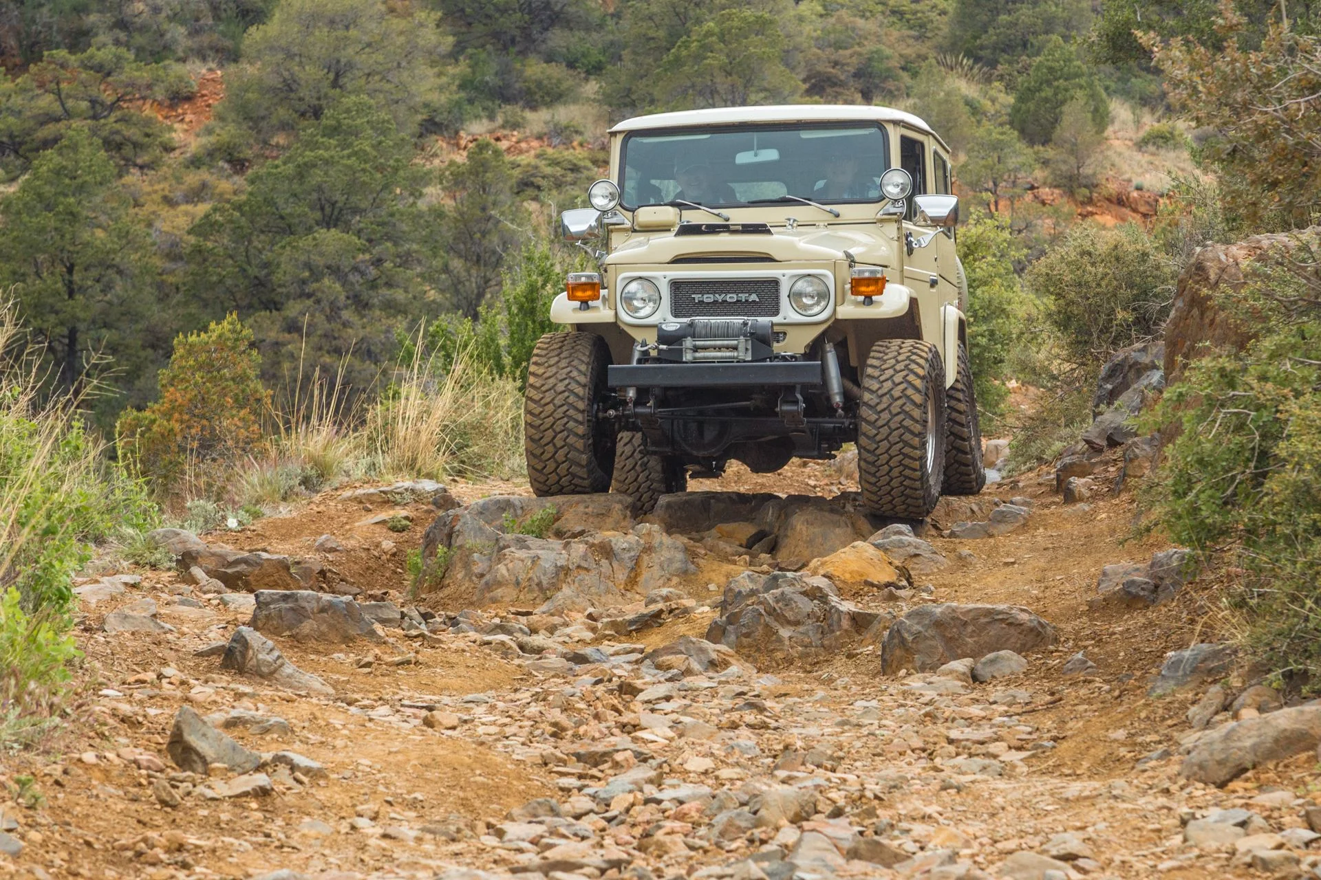
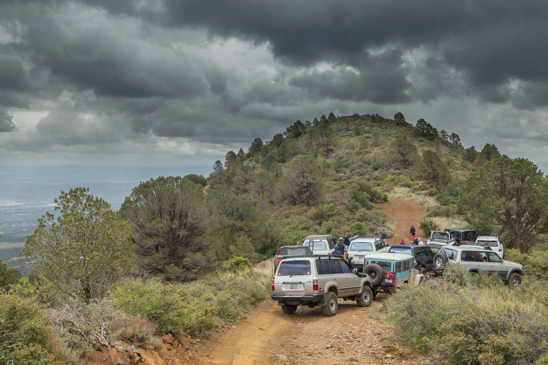
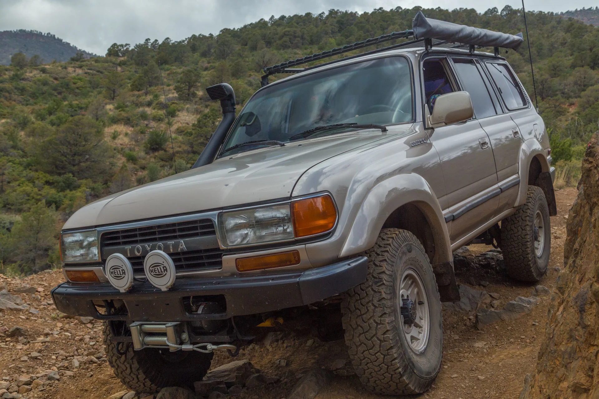
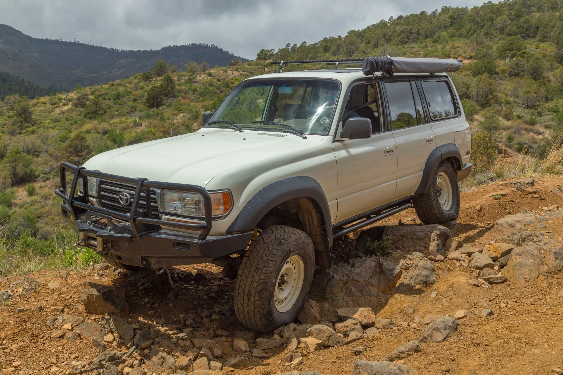
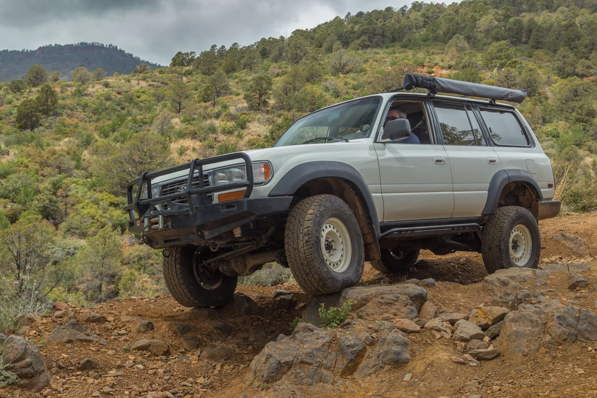
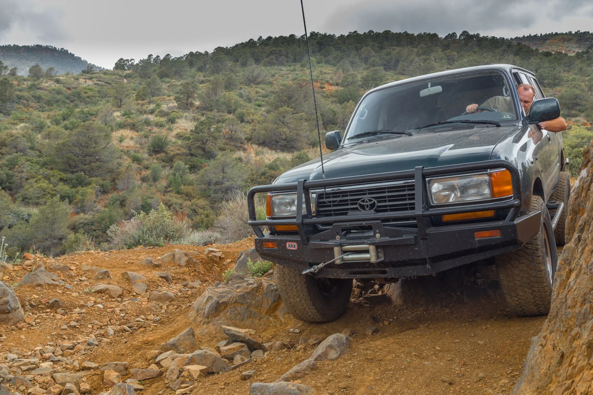
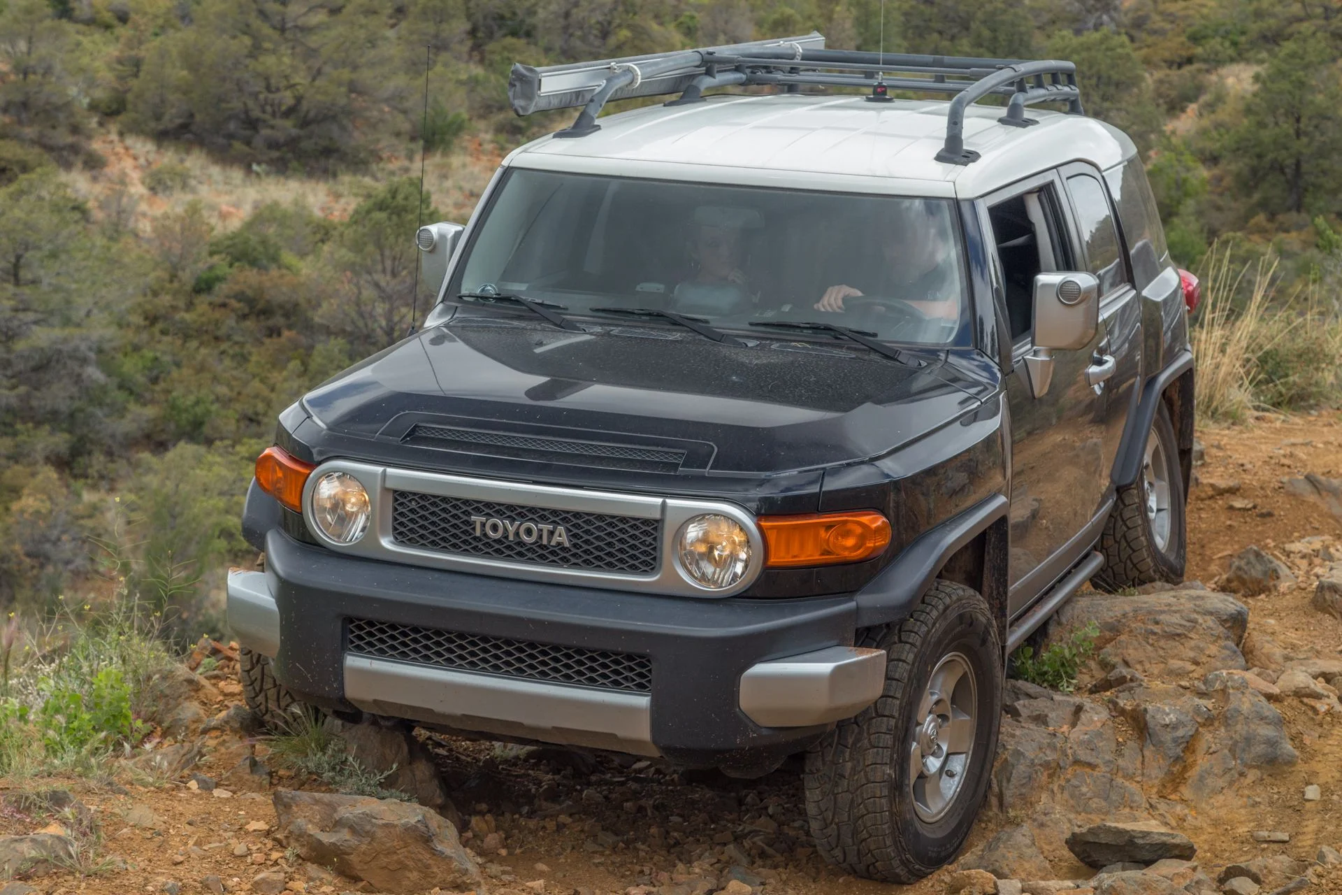
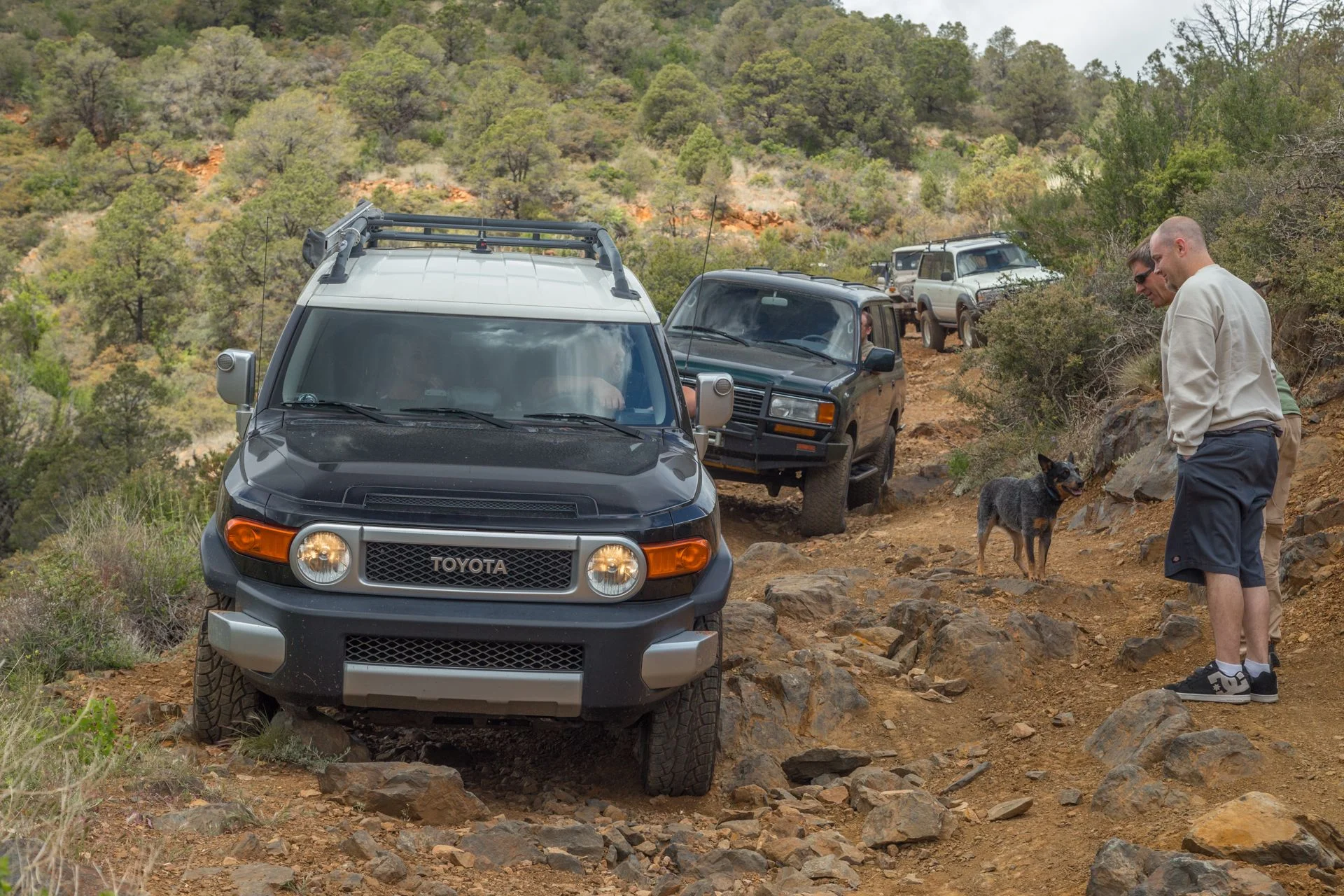
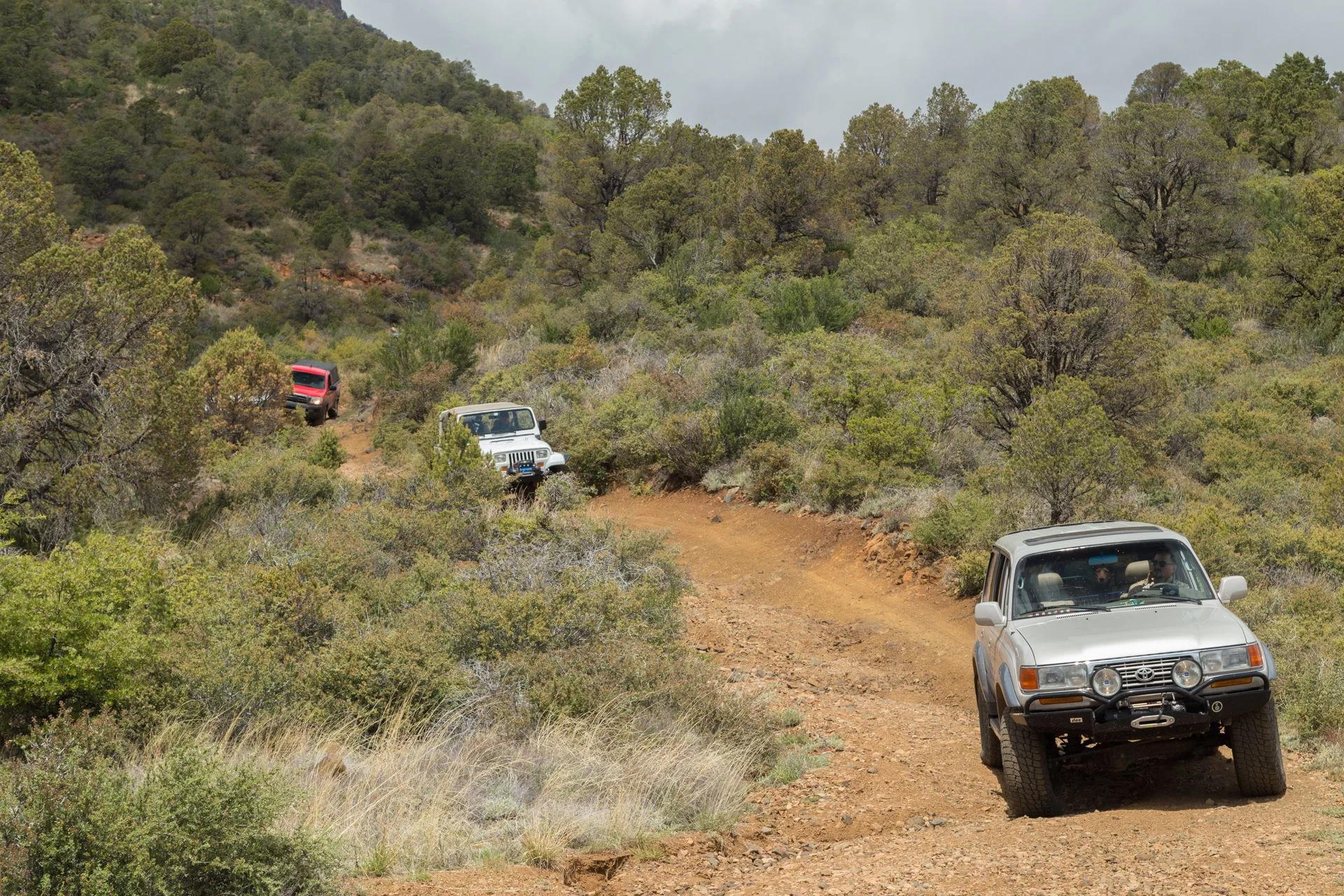
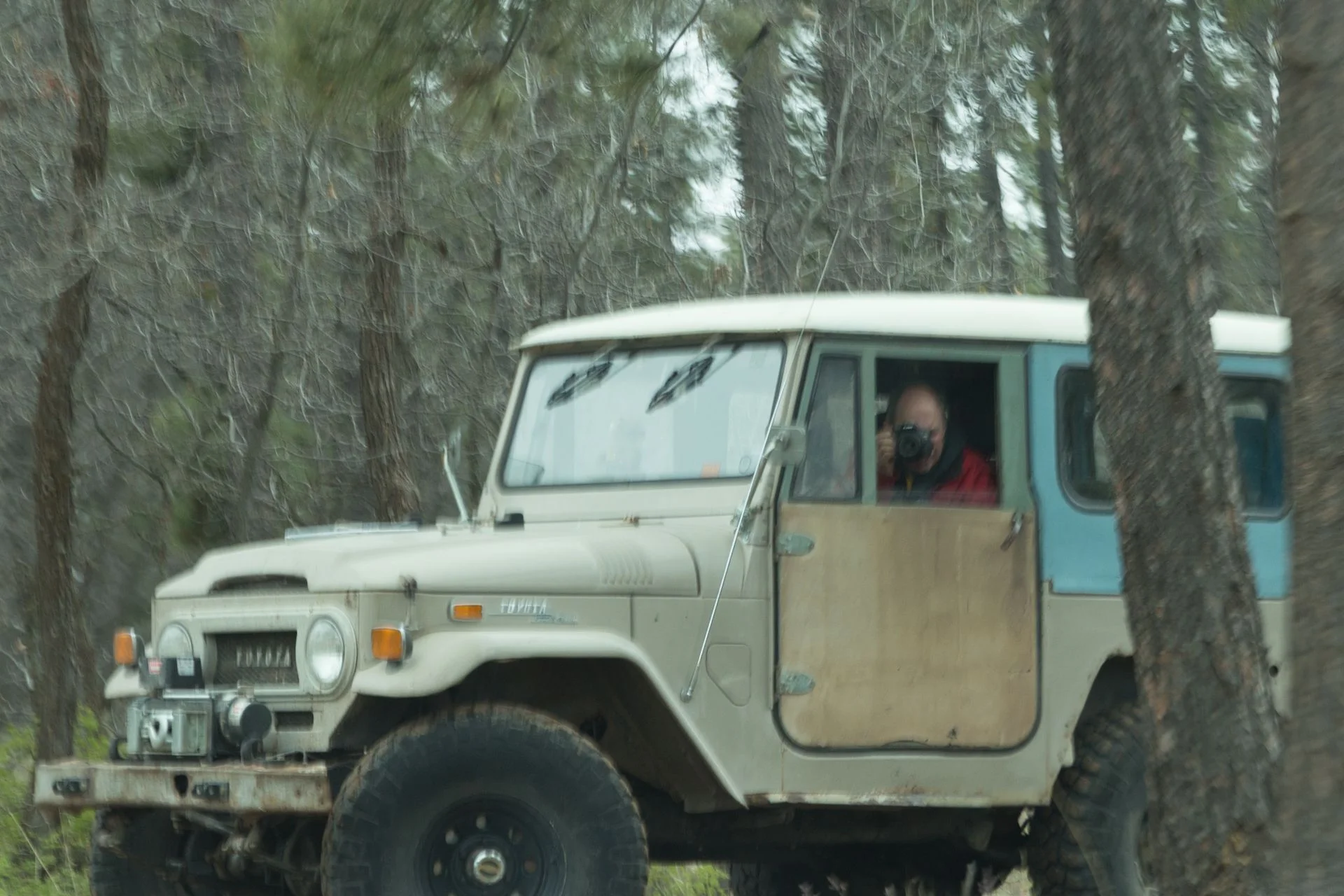
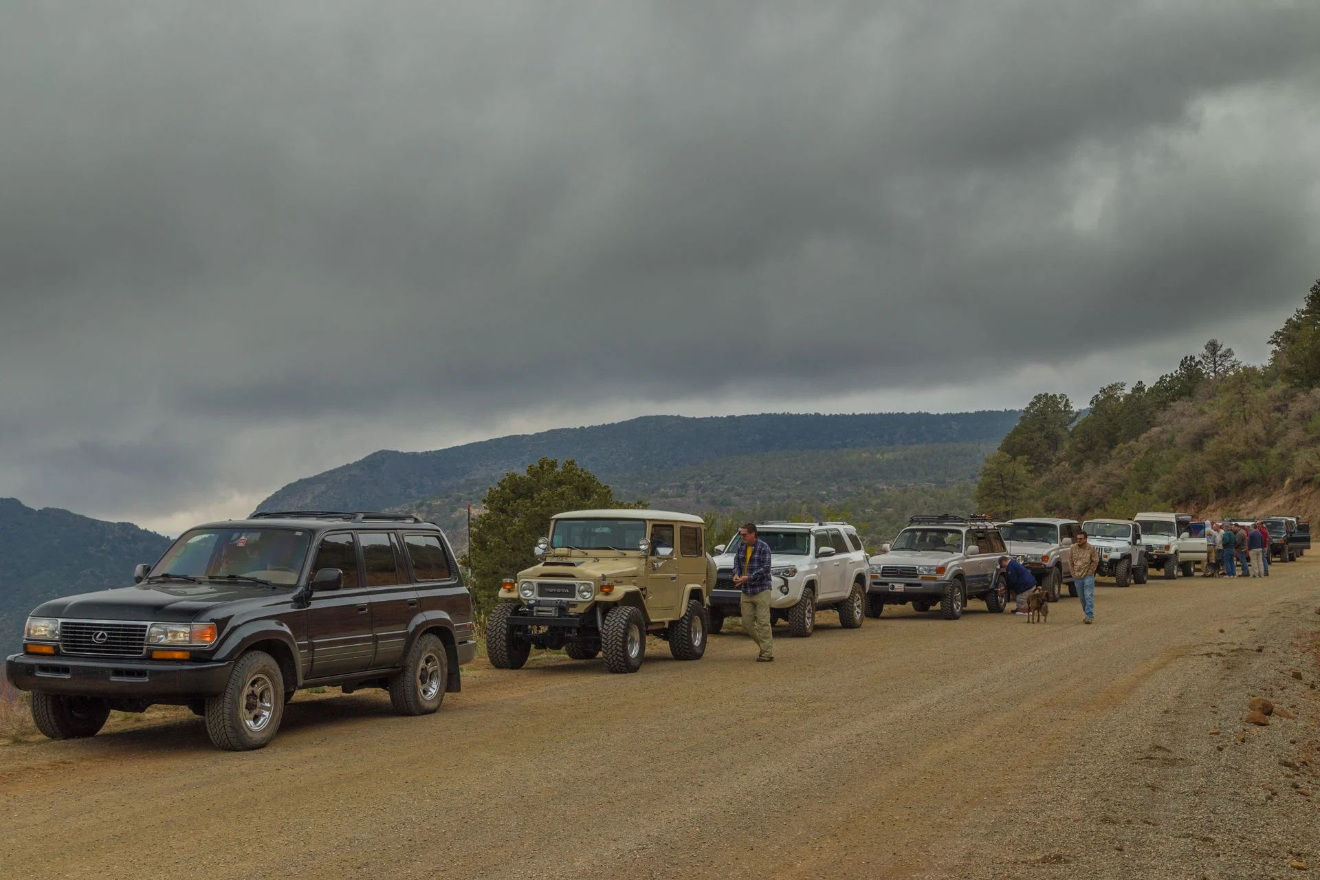
Some photos from today's trip. Great meeting everyone today, I had an excellent time.
Follow along with the video below to see how to install our site as a web app on your home screen.
Note: This feature may not be available in some browsers.
This site may earn a commission from merchant affiliate
links, including eBay, Amazon, Skimlinks, and others.
") Thank you for all the great pictures and that time lapse video is very cool! I'll post up my pics tomorrow.
Thank you for all the great pictures and that time lapse video is very cool! I'll post up my pics tomorrow.great pictures - did you get heavy rain late Saturday and into the night while camping?


 that seemed to dead end.
 ). Along with a late night coal relocation project we were able to stay dry and warm. Rain all night
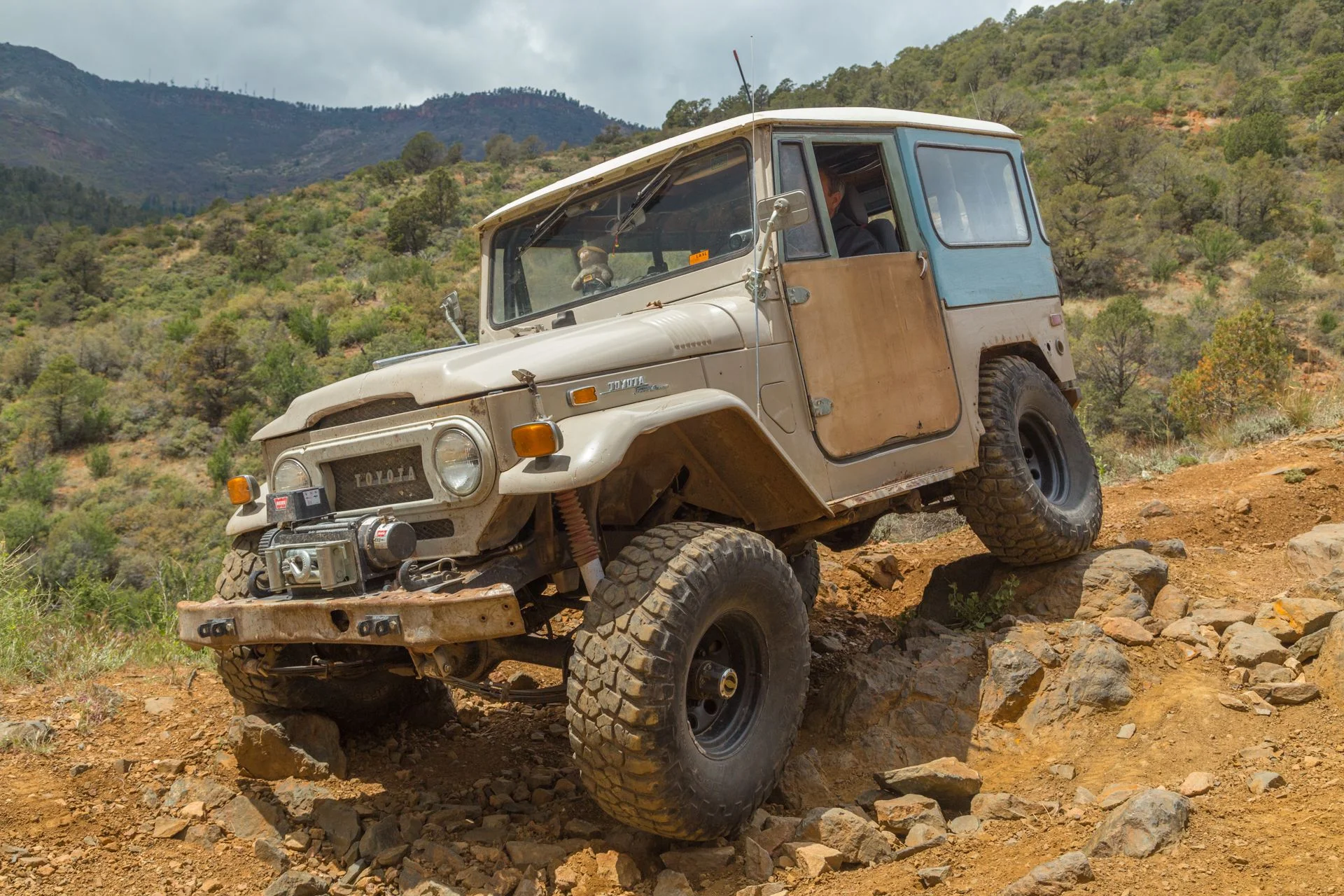
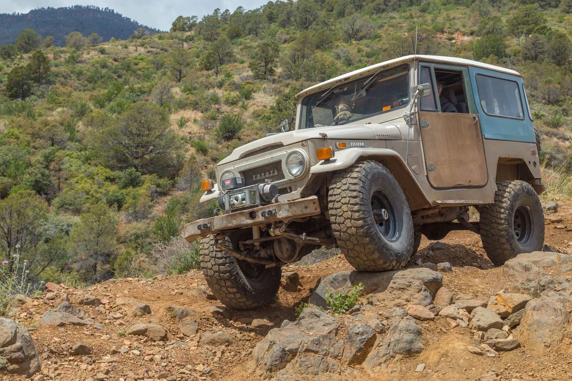
 . I'm not going to waste time telling how beautiful the trail was, I'm just going to say what a difference a day makes.Trail got pretty muddy towards the end. You know that not too deep but super slippery bullsnotty variety, which touching the brakes or trying to steer will surely put you in the ditch. Just put your tires in the ruts and aim straight. Fun for the driver, not so much for the
  . There was some snow on the west side of Mingus, nice surprise. Got to 89A and aired up with the puma, now hard wired.While airing up encountered small hail shower. Rain, sun, snow and hail and great scenery. Home safe with the only casualty being our little pooch got car sick. He recovered as fast as he..., nuff said. Picked up a hitch hiker (big mistake). Now we can't get rid of him.