- Thread starter
- #61
So I headed out this morning thinking that at least a couple guys would show up at the A&W. When no one showed up I decided just to head out on my own. I did not get into any serious wheeling, being that I was out alone. But I wanted to make the best of the good weather, and explore some new to me areas. Made it up to 1100m, and there was no snow anywhere. So really did not end up being a snow run.
Here is the GPS map of where I went. The green is where I drove. Bottom right is basically Jordan River. Top right is the highest altitude where I got some good views and found a small lake and bog. Top left is where I found a larger lake. This area is all open, so I don't think there is any issue showing the map here on the forum.

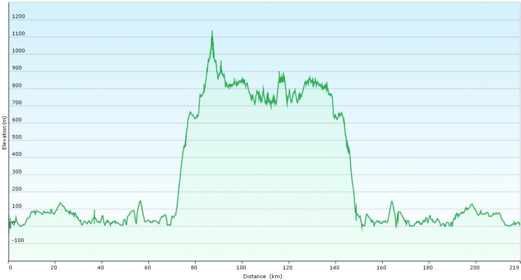
Here is the elevation contour from my house in Victoria, the backroads and then back to Victoria. Shows how high I got.
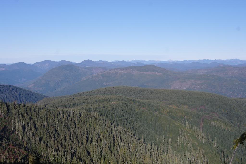
View part way up the hill.
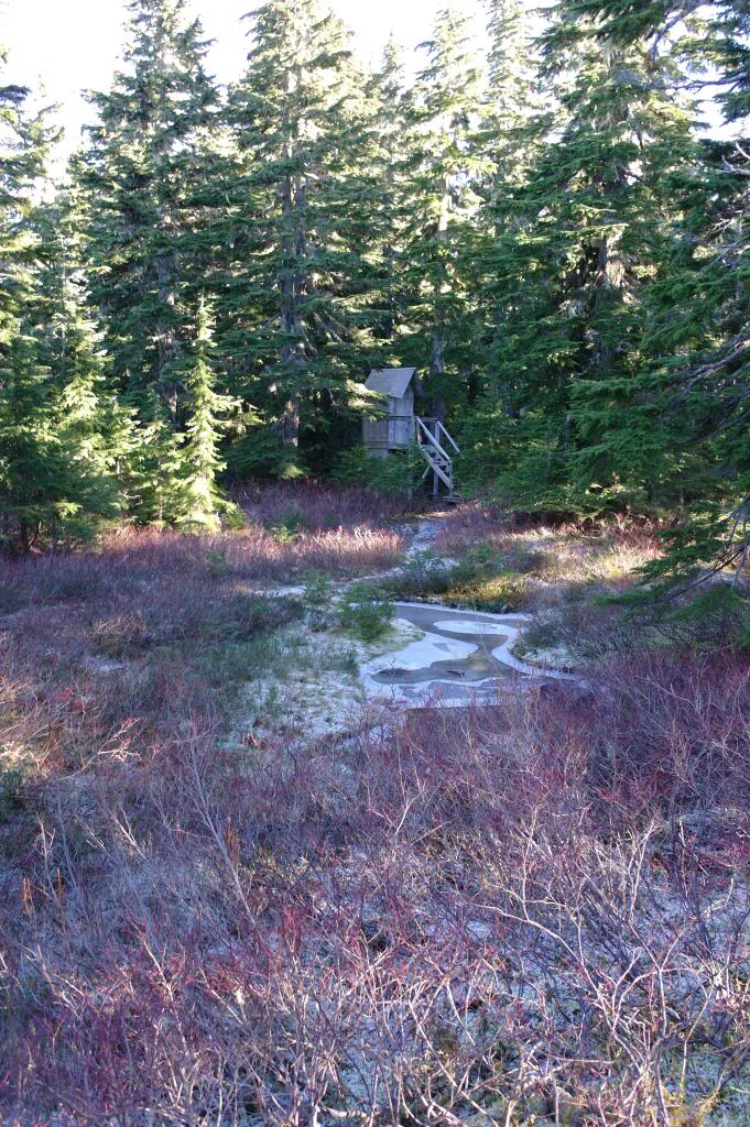
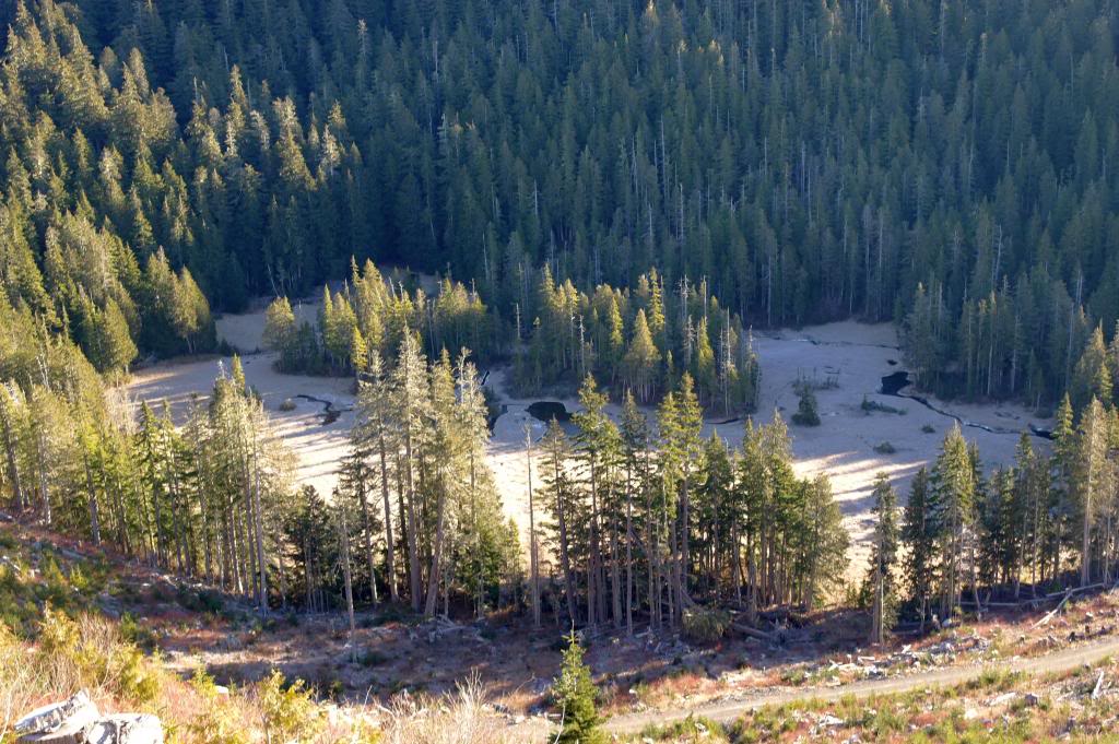
Cool bog at high elevation, seen from above
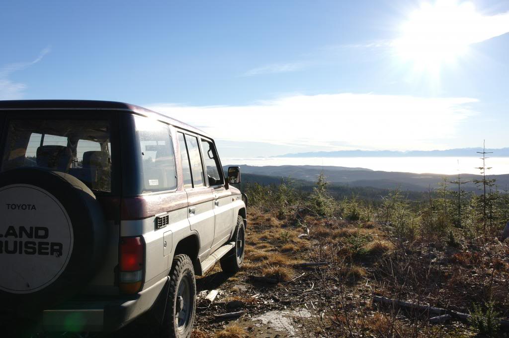
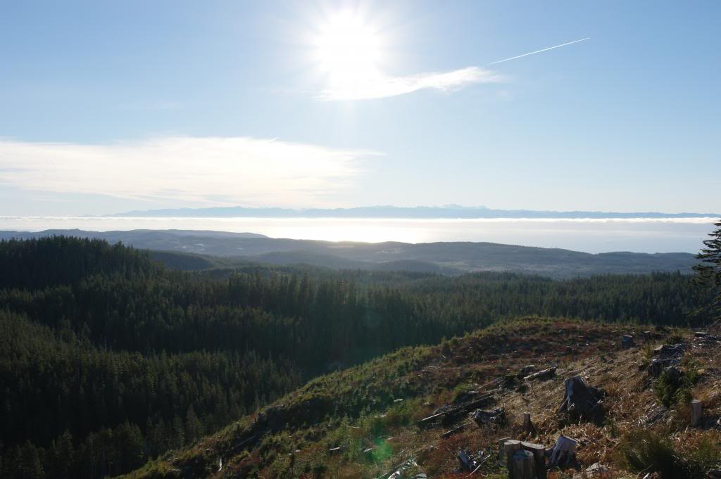
View South from summit
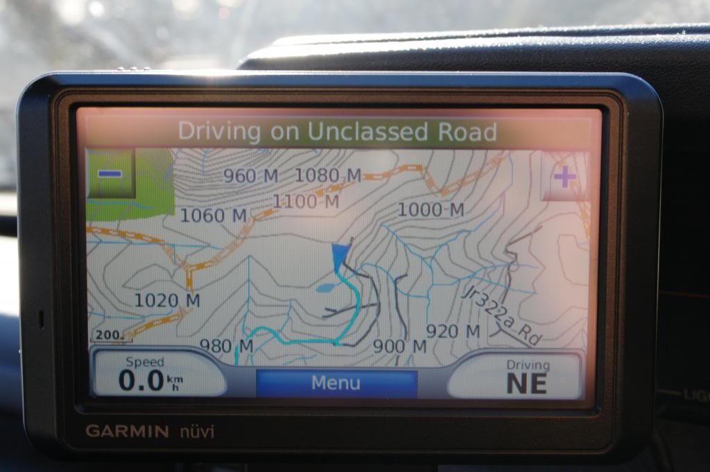
GPS at summit
Here is the GPS map of where I went. The green is where I drove. Bottom right is basically Jordan River. Top right is the highest altitude where I got some good views and found a small lake and bog. Top left is where I found a larger lake. This area is all open, so I don't think there is any issue showing the map here on the forum.
Here is the elevation contour from my house in Victoria, the backroads and then back to Victoria. Shows how high I got.
View part way up the hill.
Cool bog at high elevation, seen from above
View South from summit
GPS at summit
Last edited: