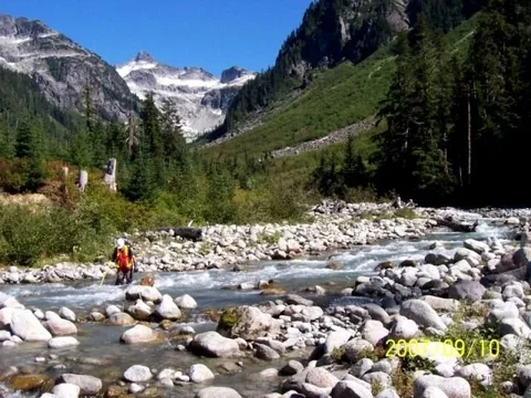
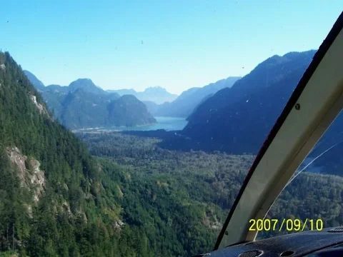
upper pit lake

This site may earn a commission from merchant affiliate
links, including eBay, Amazon, Skimlinks, and others.

Sign up now for the December 6 party meal choice...
XmasPartyGirl.webp
 
With Bill spamming the thread I wasn't going to respond, but it isn't your fault.

I've spent some time in that valley, couple times for some creek survey work, once just for fun. The logging goes way back into the valley and up into all the side drainages. Scramble up into the hills or follow the old roads. The hotsprings were nice. Bears, spawning salmon, elk on the flats. Logging camp about 6km up if you get into trouble. Don't forget to keep an eye open for slumachs gold ;)
100_7913a.webp 100_7988a.webp 100_7951a.webp
 
My co pilot is an Indian. Yes i kind of consider that area the coastal stein. the upper valley to the west is more the area i was wondering about. Like anybody gone in from garibaldi, back of mamquam, indian arm via upper coq. Etc.
 
IIRC it was Bucklin Creek that was as far up as I had a chance to explore up the west side. Road was overgrown into there but good trail to access pretty much to park boundaries. I recall several years back hearing of proposals for power projects up thereabouts. May have improved access opportunities from all the baseline assessment work that would have happened, don't think they actually got to constructing anything...
 
I remember talking to Dave (from the club ...well I thought it was Dave, may have been someone else), many years back there was an option to "buy" your way onto the supply barge to the camp and bring a group of trucks to go play. Not sure what the cost of that adventure would be these days, or if it's even an option anymore.
 
Back
Top Bottom