



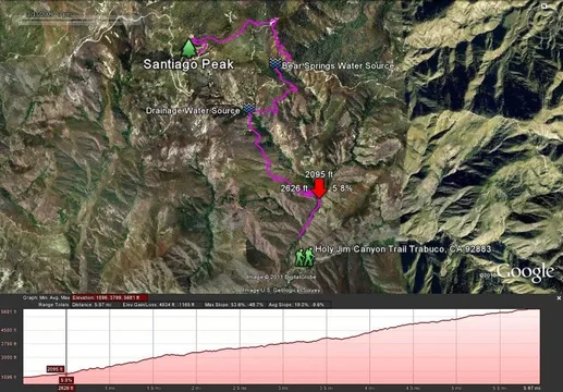
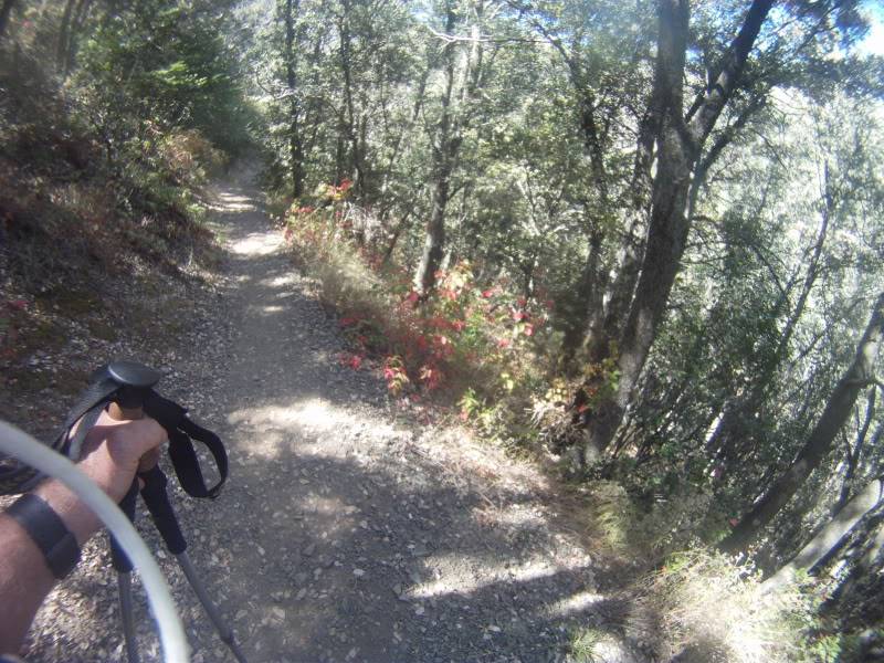
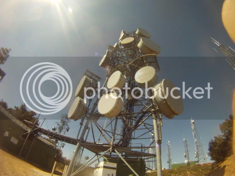
I worked a few hours today and then took off and hiked Holy Jim Canyon Trail up to the falls then back down to the Main Divide Trail and up to Santiago Peak which is OC's highest at 5,681ft. Being a Monday I never saw a soul until late afternoon when a mountain biker passed by on his way up. It was really bright and hot out today, it felt like the low 90's but it was maybe in the mid 80's. I went through 3 liters of water in the first 7 miles before having to source and treat more water. There was a lot of water to be found for late September and it is still damp and quite green in the valleys. The creeks are flowing and I was able to source water at a drainage that was quite clear and cold. Wow that was refreshing...After trudging the last few miles up to Santiago Peak, one is in for a shocker. It has to be one of the ugliest mountain tops in the world, I've driven it dozens of times and it never bothered me til' I hiked it today. A gorgeous hike through beautiful country comes to a grinding halt at the summit. Cement, steel , aluminum and other more exotic materials come together in a cacophony of telecommunication signals and visual blight. The view in every direction invaded, ah but a necessary evil in our high tech world....I found it quite ironic that will all the towers and hardware I could not get cell service at the peak. 
7 1/2 hours on the trail, 4000 ft elevation gain and I am whooped and ready to crash. I lost 7 lbs today, mainly water I'm sure but I'll take it just the same.
BTW There was $12.00 stuffed in my window sill when I got back to my FJ. I must have dropped it as I left in the morning. Sometimes people really surprise me in a great way!
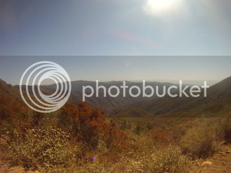
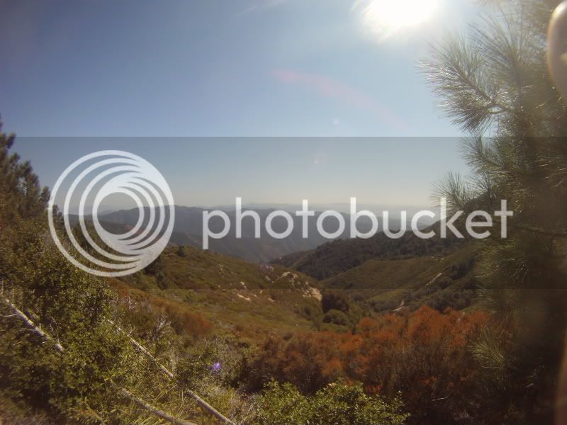
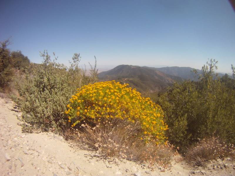
I have to buy a new compact digital soon, until then please bare with the Blackberry and Go Pro stills.
Holy Jim Canyon Trail





Eagle Scout Project. Stainless Steel Tubing used as a visual guide to surrounding landmarks. This one points at Catalina Island.

7 1/2 hours on the trail, 4000 ft elevation gain and I am whooped and ready to crash. I lost 7 lbs today, mainly water I'm sure but I'll take it just the same.
BTW There was $12.00 stuffed in my window sill when I got back to my FJ. I must have dropped it as I left in the morning. Sometimes people really surprise me in a great way!
I have to buy a new compact digital soon, until then please bare with the Blackberry and Go Pro stills.
Holy Jim Canyon Trail
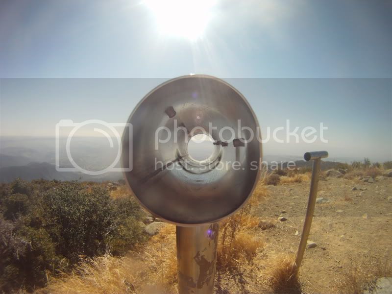
Eagle Scout Project. Stainless Steel Tubing used as a visual guide to surrounding landmarks. This one points at Catalina Island.
Last edited:

 Is it just me or is that area up top kind of creepy? The hummmm sound from the generators make it creepy for me too IMO.