
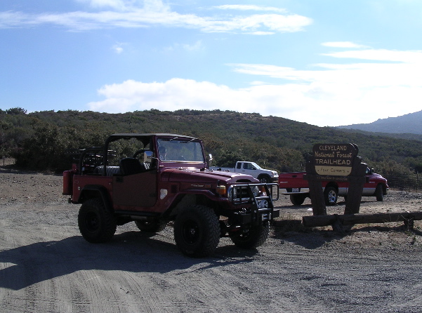
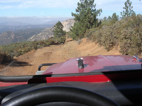
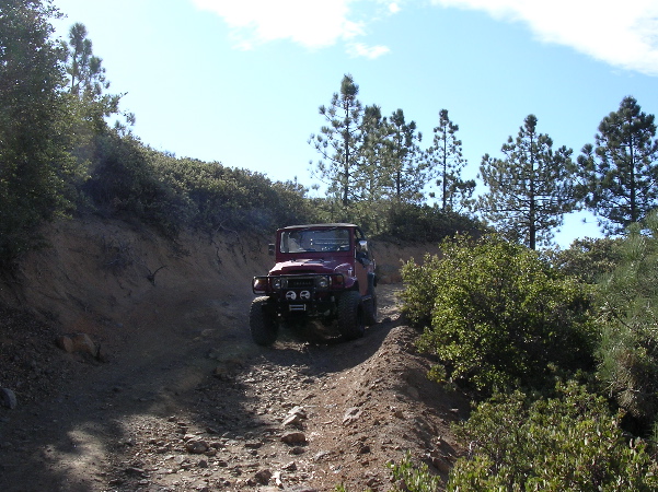
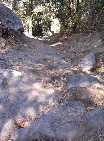
pretty awesome location, moderately rated 3-4 hour trail outside of San Diego. Happy to provide more trail details (as my chick takes great trail notes to supplement our guide book) if interested, this is mainly for photos. Have done it a few times now.


Last edited: